


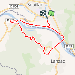

4,5 km | 6,6 km-effort


Utilisateur


Application GPS de randonnée GRATUITE
 SityTrail
IGN / Instituts géographiques
SityTrail World
Le monde est à vous
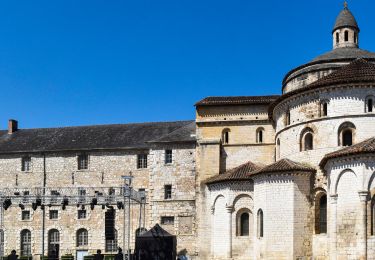
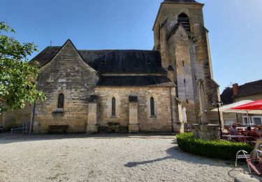
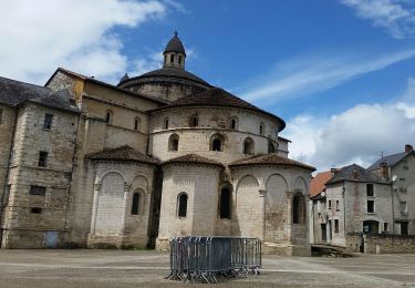
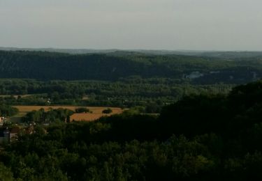
Randonnée Marche de 7,9 km à découvrir à Occitanie, Lot, Souillac. Cette randonnée est proposée par dan79.
Marche

Course à pied
V.T.T.
Vélo de route
Moto
Marche
Marche
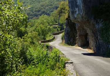
te veel asfaltweg