


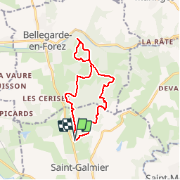

26 km | 35 km-effort


Utilisateur


Application GPS de randonnée GRATUITE
 SityTrail
IGN / Instituts géographiques
SityTrail World
Le monde est à vous
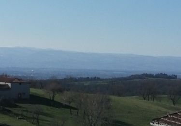
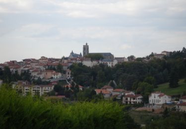
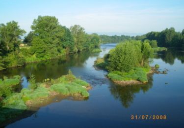
Randonnée Marche de 12,3 km à découvrir à Auvergne-Rhône-Alpes, Loire, Saint-Galmier. Cette randonnée est proposée par ramsay.
V.T.T.

Marche
Course à pied

Marche
V.T.T.
Marche
Marche
V.T.T.
V.T.T.
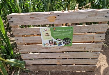
très très utile et sympa