


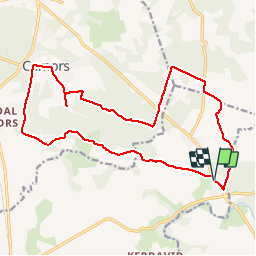


9,8 km | 12,1 km-effort


Utilisateur


Application GPS de randonnée GRATUITE
 SityTrail
IGN / Instituts géographiques
SityTrail World
Le monde est à vous
Randonnée Vélo électrique de 18,3 km à découvrir à Bretagne, Morbihan, Pluvigner. Cette randonnée est proposée par EricVIBERT.
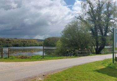
belles vues sur la campagne puis beaux chemins forestiers


Marche
Marche

Marche

A pied
Marche

V.T.T.


sport
Marche
Marche