


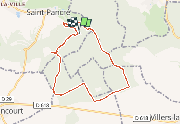

14,7 km | 19,5 km-effort


Utilisateur


Application GPS de randonnée GRATUITE
 SityTrail
IGN / Instituts géographiques
SityTrail World
Le monde est à vous
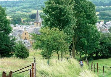
Randonnée Marche de 8,1 km à découvrir à Grand Est, Meurthe-et-Moselle, Saint-Pancré. Cette randonnée est proposée par patrismichel.
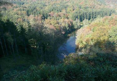
belle promenade.
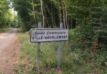
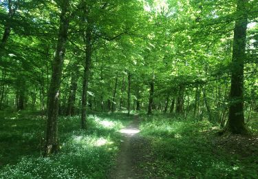
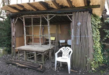
En forêt pour la plus grande partie.
Quelques montées et descentes.


Marche

Marche

A pied

A pied

Marche
Marche
Marche
Marche nordique
Marche