


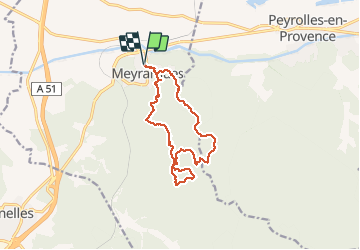

11,4 km | 17 km-effort

Utilisateur


Application GPS de randonnée GRATUITE
 SityTrail
IGN / Instituts géographiques
SityTrail World
Le monde est à vous
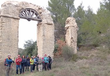
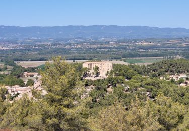
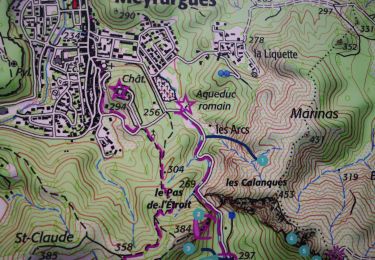
Randonnée Marche de 14 km à découvrir à Provence-Alpes-Côte d'Azur, Bouches-du-Rhône, Meyrargues. Cette randonnée est proposée par MicDul.
Départ : parking de la Poste


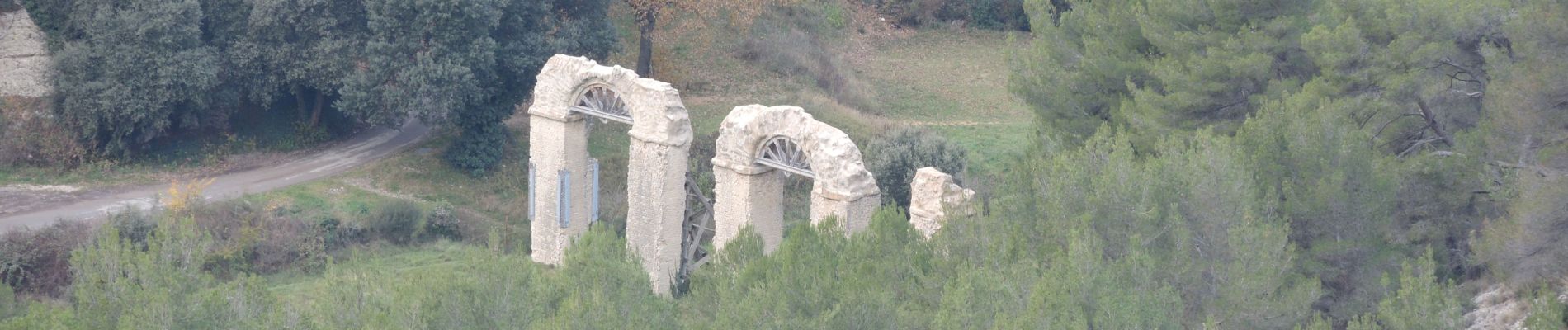
Marche
Marche
Marche
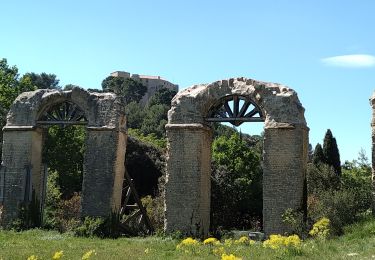
V.T.T.
Marche
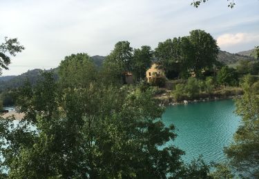
Marche
Marche
Marche
Marche