Randonnée V.T.T. Revel - le bout du monde  - Photo
 ra2000
ra2000

Utilisateur

© OpenStreetMap contributors
Longueur
Longueur
55 km
Altitude max
Altitude max
645 m
Dénivelé positif
Dénivelé positif
1131 m
Km-Effort
Km-Effort  
70 km
Altitude min
Altitude min
176 m
Dénivelé négatif
Dénivelé négatif
1133 m
Boucle
Boucle
Oui
Date de création :
2019-09-30 08:49:25.847
Dernière modification :
2019-10-02 17:03:25.239

(0 Avis)

V.T.T.
V.T.T.
7h34
Difficulté : Difficile

Scannez ce code QR pour ouvrir la randonnée dans l'application SityTrail

Application GPS de randonnée GRATUITE

Logo SityTrail SityTrail

IGN / Instituts géographiques

Télécharger SityTrail sur l'App Store Télécharger SityTrail sur Google Play

Logo SityTrail SityTrail World

Le monde est à vous

Télécharger SityTrail sur l'App Store Télécharger SityTrail sur Google Play Télécharger SityTrail sur Huawei AppGallery

À propos

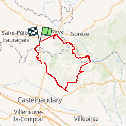
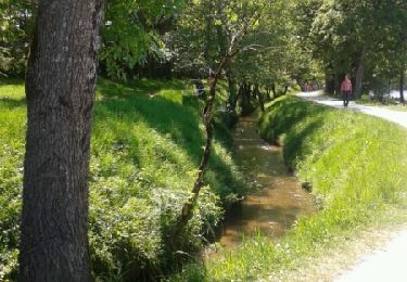
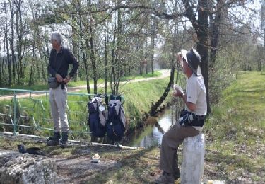
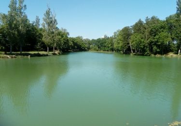
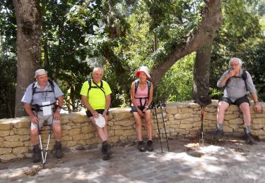
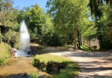
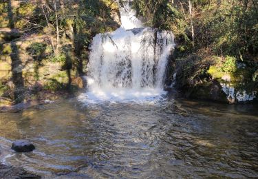
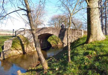
Randonnée V.T.T. de 55 km à découvrir à Occitanie, Haute-Garonne, Revel. Cette randonnée est proposée par ra2000.

Profil altimétrique

Localisation

Pays :
France
Région :
Occitanie
Département/Province :
Haute-Garonne
Commune :
Revel
Localité :
Unknown
Départ:(UTM)
415459 ; 4809734 (31T) N.

Randonnées à proximité

Randonnée Marche Revel - Revel Saint Férréol en boucle - Photo
Marche
christian425

Marche

Facile
(2)
Revel, Occitanie, Haute-Garonne, France
10,4 km | 13,3 km-effort
3h 16min
Oui
Randonnée V.T.T. Revel - Revel.vol à voile st ferreok  - Photo
V.T.T.
leroj73

V.T.T.

Très facile
(1)
Revel, Occitanie, Haute-Garonne, France
28 km | 36 km-effort
1h 49min
Oui
Randonnée Marche Revel - Revel - Les Cassés - Photo
Marche
RR31

Marche

Moyen
Revel, Occitanie, Haute-Garonne, France
22 km | 24 km-effort
1min
Non
Randonnée Marche Saint-Félix-Lauragais - rando fermes - Photo
Marche
Philplaisir

Marche

Très facile
Saint-Félix-Lauragais, Occitanie, Haute-Garonne, France
11,6 km | 12,9 km-effort
3h 42min
Non
Randonnée Marche Saint-Félix-Lauragais - c2pa-lenclas-15/05 - Photo
Marche
arnoultjf

Marche

Moyen
Saint-Félix-Lauragais, Occitanie, Haute-Garonne, France
9,2 km | 9,8 km-effort
2h 18min
Oui
Randonnée Marche La Pomarède - La Pomaréde - Tréville - Photo
Marche
jpp2caunes

Marche

Difficile
La Pomarède, Occitanie, Aude, France
13,3 km | 16,7 km-effort
3h 35min
Oui
Randonnée Vélo électrique Saint-Félix-Lauragais - De Lenclas à Santa Fé - Photo
Vélo électrique
jpp2caunes

Vélo électrique

Très facile
Saint-Félix-Lauragais, Occitanie, Haute-Garonne, France
15,9 km | 18,7 km-effort
1h 45min
Non
Randonnée Marche Revel - revel - Photo
Marche
cappelle

Marche

Difficile
Revel, Occitanie, Haute-Garonne, France
9,2 km | 12,1 km-effort
2h 57min
Non
Randonnée Marche Saint-Félix-Lauragais - Lac de Lanclas au bassin de la Pomarède - Photo
Marche
jpp2caunes

Marche

Très facile
Saint-Félix-Lauragais, Occitanie, Haute-Garonne, France
12 km | 13,3 km-effort
4h 0min
Oui


Fermer
Mes abonnements