


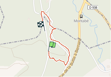

7,8 km | 9,6 km-effort


Utilisateur


Application GPS de randonnée GRATUITE
 SityTrail
IGN / Instituts géographiques
SityTrail World
Le monde est à vous
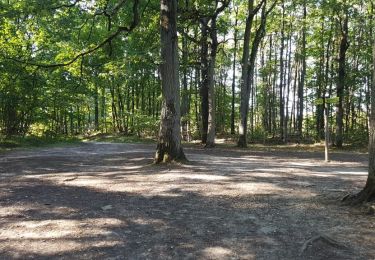
Randonnée Marche de 653 m à découvrir à Île-de-France, Essonne, Boullay-les-Troux. Cette randonnée est proposée par mdsaintjalmes.
Déviation gr 655 et 11

Marche

Marche

Marche

Marche
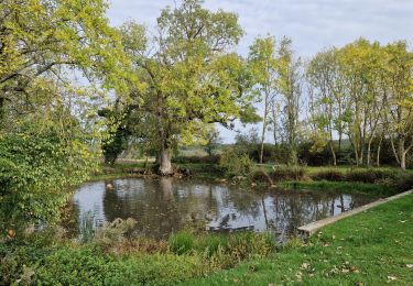
Marche
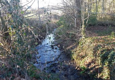
Marche
Marche
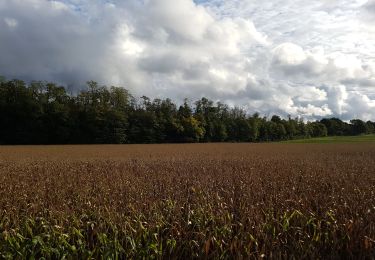
Marche
Marche