


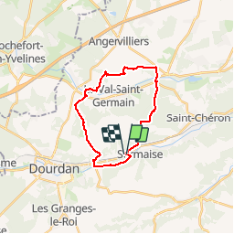

12,3 km | 15 km-effort


partout a pied et en moto


Application GPS de randonnée GRATUITE
 SityTrail
IGN / Instituts géographiques
SityTrail World
Le monde est à vous
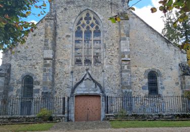
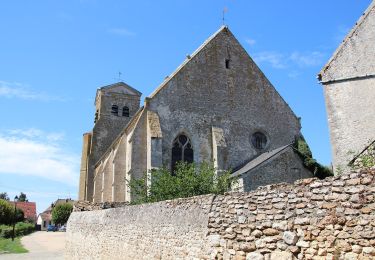
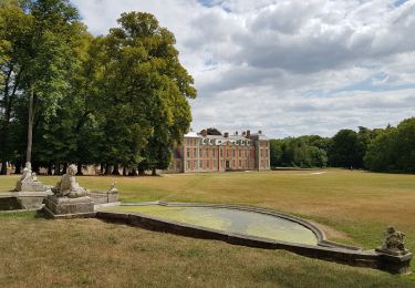
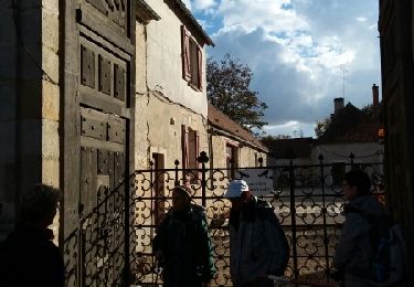
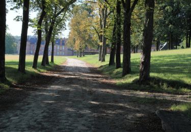
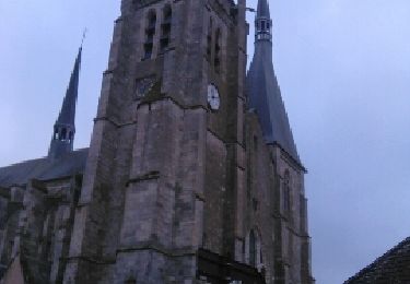
Randonnée Marche de 20 km à découvrir à Île-de-France, Essonne, Sermaise. Cette randonnée est proposée par les randos d'Olivier.
sermaise, val st germain tennis club le marais sermaisqe

Marche
Marche
A pied
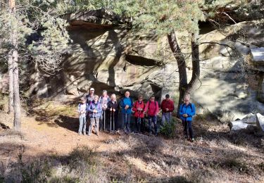
Marche nordique
Marche
Marche
Marche
Marche
Marche