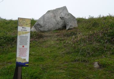
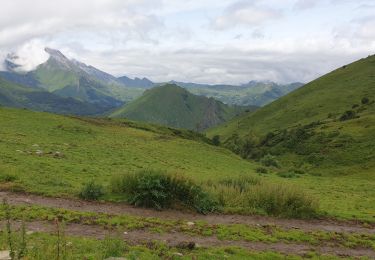
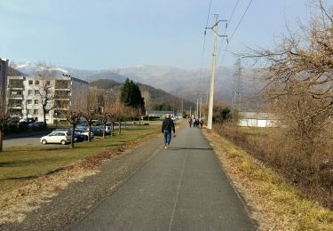
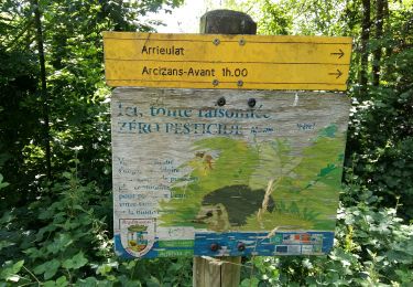
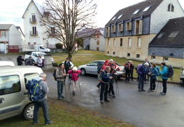
Randonnée A pied Ouzous - OUZOUS Ouzous  Salles en boucle G4 Chantal  2247552 - Photo

OUZOUS Ouzous Salles en boucle G4 Chantal 2247552

 marmotte65
marmotte65

Utilisateur GUIDE

© OpenStreetMap contributors
Longueur
Longueur
8,2 km
Altitude max
Altitude max
646 m
Dénivelé positif
Dénivelé positif
301 m
Km-Effort
Km-Effort  
12,2 km
Altitude min
Altitude min
493 m
Dénivelé négatif
Dénivelé négatif
294 m
Boucle
Boucle
Oui
Date de création :
2019-10-23 07:55:16.68
Dernière modification :
2021-04-02 06:08:11.609

(0 Avis)

A pied
A pied
--
Difficulté : Facile

Scannez ce code QR pour ouvrir la randonnée dans l'application SityTrail

Application GPS de randonnée GRATUITE

Logo SityTrail SityTrail

IGN / Instituts géographiques

Télécharger SityTrail sur l'App Store Télécharger SityTrail sur Google Play

Logo SityTrail SityTrail World

Le monde est à vous

Télécharger SityTrail sur l'App Store Télécharger SityTrail sur Google Play Télécharger SityTrail sur Huawei AppGallery

À propos

Randonnée A pied de 8,2 km à découvrir à Occitanie, Hautes-Pyrénées, Ouzous. Cette randonnée est proposée par marmotte65.

Profil altimétrique

Points d'intérêt

Point d'intérêt Sère-en-Lavedan - J - Photo
marmotte65
SÈRE-EN-LAVEDAN 
Point d'intérêt Sère-en-Lavedan - I - Photo
marmotte65
SÈRE-EN-LAVEDAN 
Point d'intérêt  - H - Photo
marmotte65
 
Point d'intérêt Ouzous - G - Photo
marmotte65
OUZOUS 
Point d'intérêt  - F - Photo
marmotte65
 
Point d'intérêt Salles - E - Photo
marmotte65
SALLES 
Point d'intérêt Ouzous - D - Photo
marmotte65
OUZOUS 
Point d'intérêt  - C - Photo
marmotte65
 
Point d'intérêt  - B - Photo
marmotte65
 
Point d'intérêt  - A - Photo
marmotte65
 

Localisation

Pays :
France
Région :
Occitanie
Département/Province :
Hautes-Pyrénées
Commune :
Ouzous
Localité :
Unknown
Départ:(Dec)
Départ:(UTM)
735679 ; 4768012 (30T) N.

Randonnées à proximité

Randonnée Marche Arcizans-Dessus - la fontaine de Nabias - Photo
Marche
bernardbelmas

Marche

Très facile
(1)
Arcizans-Dessus, Occitanie, Hautes-Pyrénées, France
4,2 km | 6,8 km-effort
1h 40min
Oui
Randonnée Marche Argelès-Gazost - Le Mont de Gez en circuit - Argelès Gazost - Photo
Marche
tracegps

Marche

Moyen
(1)
Argelès-Gazost, Occitanie, Hautes-Pyrénées, France
11,8 km | 20 km-effort
4h 30min
Oui
Randonnée Vélo électrique Argelès-Gazost - CABALIROS 30 JUIN 2023 - Photo
Vélo électrique
GUIDE
harydh

Vélo électrique

Moyen
Argelès-Gazost, Occitanie, Hautes-Pyrénées, France
39 km | 57 km-effort
4h 47min
Oui
Randonnée Marche Argelès-Gazost - ARGELES La boucle de l arrieulat - Photo
Marche
GUIDE
marmotte65

Marche

Difficile
Argelès-Gazost, Occitanie, Hautes-Pyrénées, France
10,3 km | 14,6 km-effort
3h 4min
Oui
Randonnée Marche Argelès-Gazost - ARGELES-GAZOST chateau et lac d'Arcizans depuis l'Arieulat  faitG - Photo
Marche
GUIDE
marmotte65

Marche

Facile
Argelès-Gazost, Occitanie, Hautes-Pyrénées, France
7,9 km | 11,8 km-effort
4h 56min
Oui
Randonnée Marche Argelès-Gazost - ARGELES Mont de Gez G3 fait - Photo
Marche
GUIDE
marmotte65

Marche

Moyen
Argelès-Gazost, Occitanie, Hautes-Pyrénées, France
10,2 km | 18,3 km-effort
5h 39min
Oui
Randonnée Marche Ouzous - Ouzous pibeste-fait - Photo
Marche

Marche

Moyen
(1)
Ouzous, Occitanie, Hautes-Pyrénées, France
11,3 km | 22 km-effort
4h 29min
Oui
Randonnée Marche Ouzous - Pic du Pibeste  - Photo
Marche
DuMarsan

Marche

Moyen
(1)
Ouzous, Occitanie, Hautes-Pyrénées, France
13 km | 25 km-effort
6h 9min
Oui
Randonnée Marche Salles - Escala du Prat du Rey - Photo
Marche
DuMarsan

Marche

Moyen
(1)
Salles, Occitanie, Hautes-Pyrénées, France
11,3 km | 22 km-effort
4h 24min
Oui


Fermer
Mes abonnements