


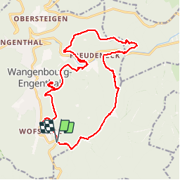


14,9 km | 24 km-effort

Utilisateur GUIDE


Application GPS de randonnée GRATUITE
 SityTrail
IGN / Instituts géographiques
SityTrail World
Le monde est à vous
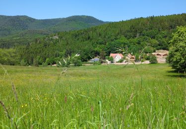
Randonnée Marche de 19,8 km à découvrir à Grand Est, Bas-Rhin, Wangenbourg-Engenthal. Cette randonnée est proposée par holtzv.
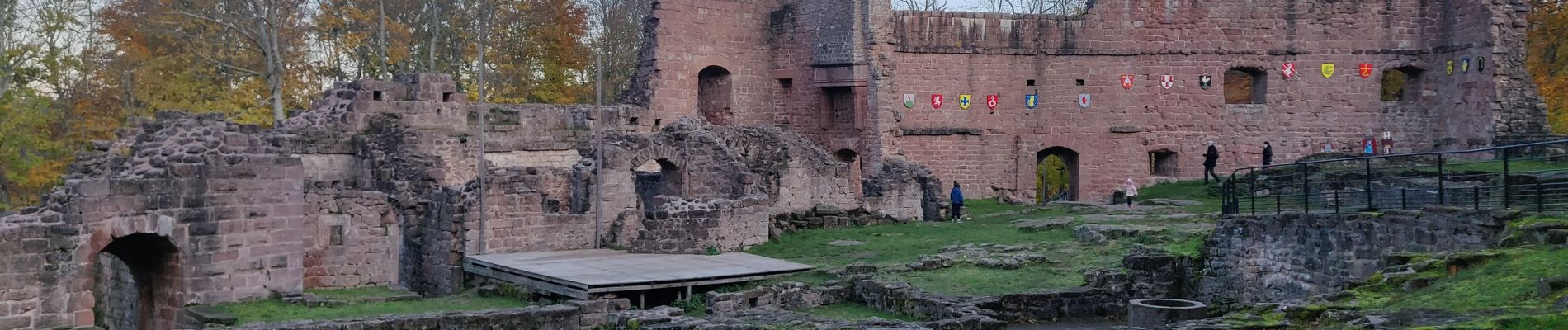
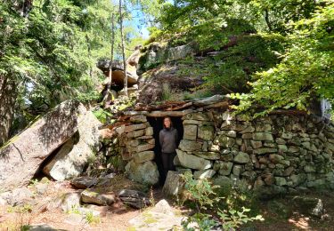
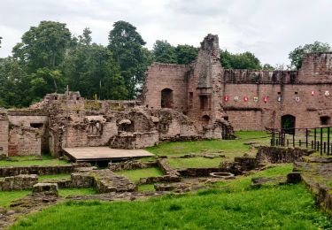
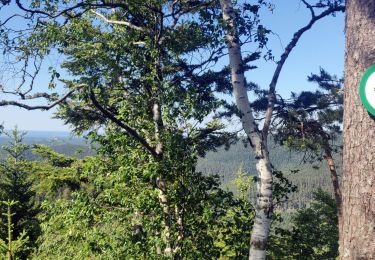
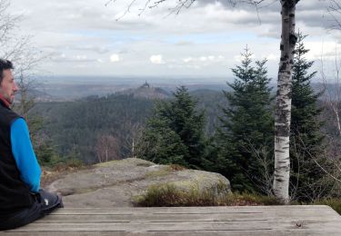
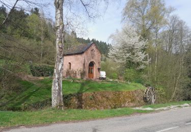
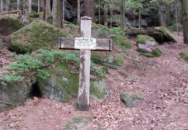
19,8 km d 840m par Rocher du Gihr, le Bischofslaeger, le Castelberg et sa grotte, l'abri du Heidenschloss, le Rotfels, les ruines du Freundeneck, le château de wagenbourg et le sentiers des sculptures


36 photos au total. Cliquez sur une photo pour les afficher toutes dans la galerie.

Marche
Randonnée équestre
Randonnée équestre
Marche
Marche
Marche
Marche
Marche