


32 km | 35 km-effort


Utilisateur


Application GPS de randonnée GRATUITE
 SityTrail
IGN / Instituts géographiques
SityTrail World
Le monde est à vous
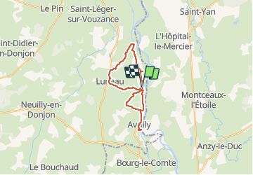
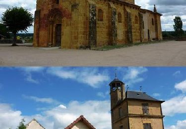
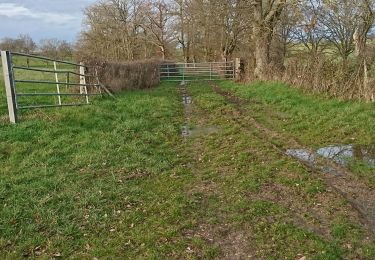
Randonnée V.T.T. de 19,8 km à découvrir à Auvergne-Rhône-Alpes, Allier, Luneau. Cette randonnée est proposée par jean claude faivre.
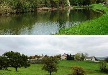
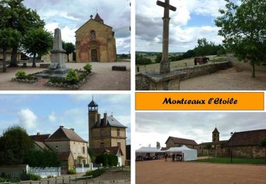
randonnée autour du canal entre Digoin Erwan on partant de avrilly
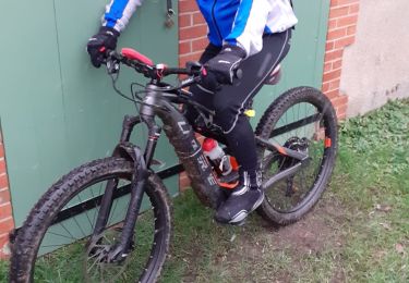
V.T.T.
V.T.T.
V.T.T.
V.T.T.

Quad
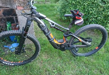
V.T.T.
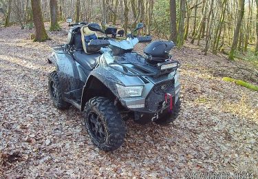
Quad
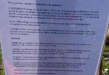
Moteur
V.T.T.