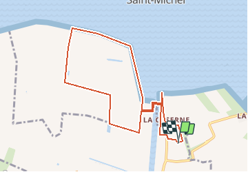

9,1 km | 10,4 km-effort

Utilisateur


Application GPS de randonnée GRATUITE
 SityTrail
IGN / Instituts géographiques
SityTrail World
Le monde est à vous
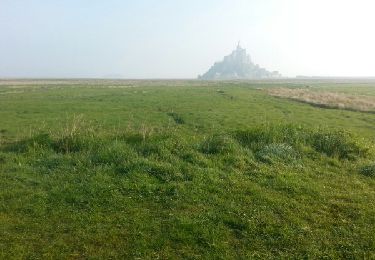
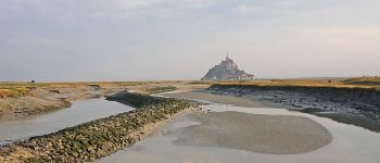
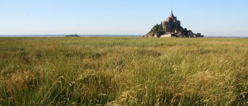
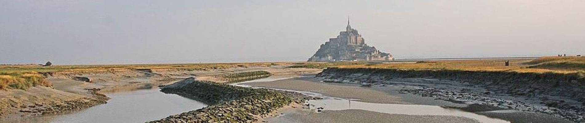
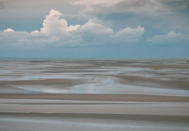
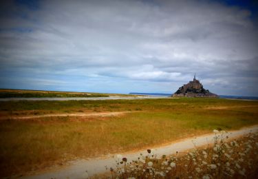
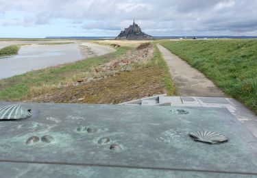
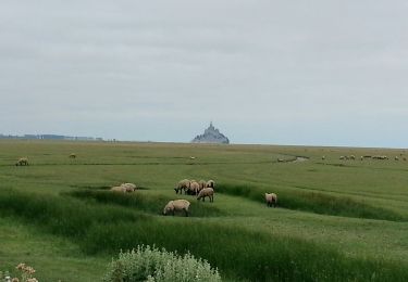
Randonnée A pied de 9,1 km à découvrir à Normandie, Manche, Beauvoir. Cette randonnée est proposée par Jos17.

A pied
A pied
V.T.T.
Marche

Marche
Marche
Marche
Marche