


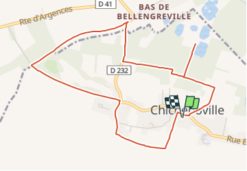

8,6 km | 9,4 km-effort


Utilisateur


Application GPS de randonnée GRATUITE
 SityTrail
IGN / Instituts géographiques
SityTrail World
Le monde est à vous
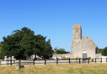
Randonnée Geocaching de 5,5 km à découvrir à Normandie, Calvados, Moult-Chicheboville. Cette randonnée est proposée par yannick-p.

Marche nordique
Marche nordique

A pied
A pied
A pied
A pied
A pied
A pied
A pied
sympathique, le passage en plein milieu des marais au départ mais ensuite trop de "route" par contre un bon moment geocaching 😊