


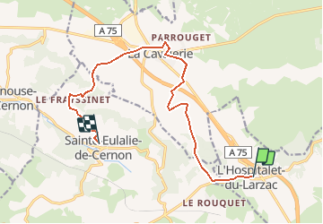

13,5 km | 15,6 km-effort


Utilisateur


Application GPS de randonnée GRATUITE
 SityTrail
IGN / Instituts géographiques
SityTrail World
Le monde est à vous
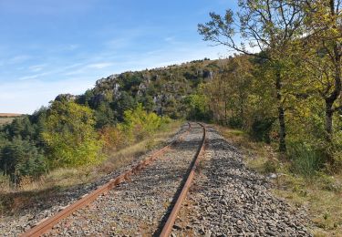
Randonnée A pied de 13,5 km à découvrir à Occitanie, Aveyron, L'Hospitalet-du-Larzac. Cette randonnée est proposée par PITOUSSAINT.
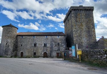
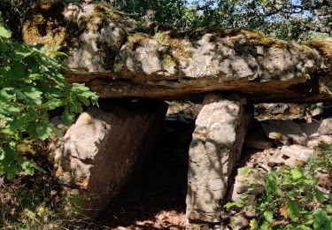
Visite de la commanderie des templiers et l'enceinter des templiers.

Marche
Marche
Marche
Marche nordique
Marche
Marche
Marche