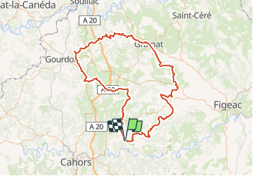


17,7 km | 24 km-effort


Utilisateur


Application GPS de randonnée GRATUITE
 SityTrail
IGN / Instituts géographiques
SityTrail World
Le monde est à vous
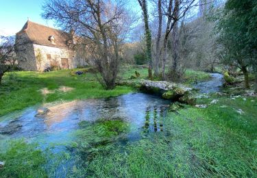
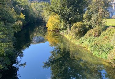
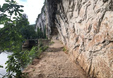
Randonnée Randonnée équestre de 158 km à découvrir à Occitanie, Lot, Cabrerets. Cette randonnée est proposée par thle.
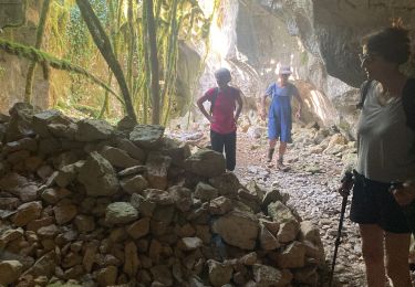
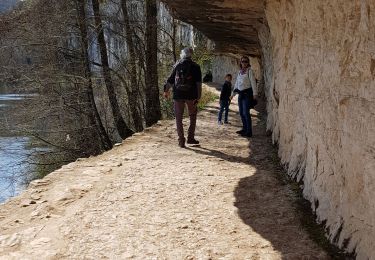
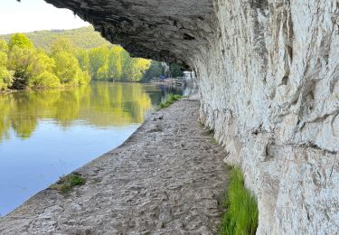
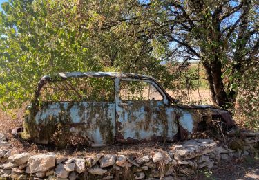
Nos vacances 2020 dans le Lot

Marche
Marche


sport
sport
Marche
Marche
Marche
Vélo électrique