


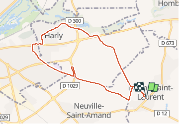

55 km | 62 km-effort


Utilisateur


Application GPS de randonnée GRATUITE
 SityTrail
IGN / Instituts géographiques
SityTrail World
Le monde est à vous
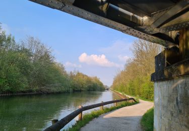
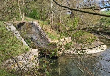
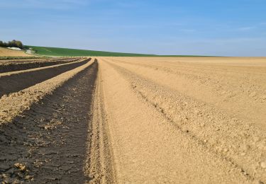
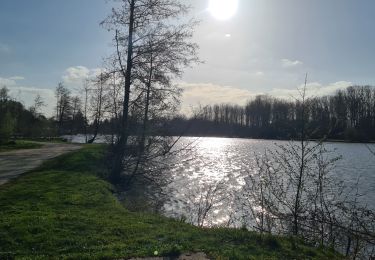
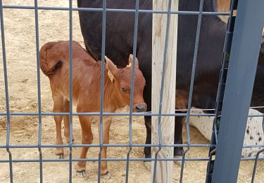
Randonnée Marche de 8,5 km à découvrir à Hauts-de-France, Aisne, Mesnil-Saint-Laurent. Cette randonnée est proposée par jacquesduchesne.
V.T.T.
V.T.T.
V.T.T.
Marche
Marche
Marche
Marche

Marche
Marche