Randonnée Marche Eygluy-Escoulin -  Bec pointu - Photo
 ajd26
ajd26

Utilisateur

© OpenStreetMap contributors
Longueur
Longueur
11,2 km
Altitude max
Altitude max
1317 m
Dénivelé positif
Dénivelé positif
893 m
Km-Effort
Km-Effort  
23 km
Altitude min
Altitude min
571 m
Dénivelé négatif
Dénivelé négatif
908 m
Boucle
Boucle
Oui
Date de création :
2020-01-31 08:12:48.0
Dernière modification :
2020-01-31 17:29:20.273

(0 Avis)

Marche
Marche
3h39
Difficulté : Difficile

Scannez ce code QR pour ouvrir la randonnée dans l'application SityTrail

Application GPS de randonnée GRATUITE

Logo SityTrail SityTrail

IGN / Instituts géographiques

Télécharger SityTrail sur l'App Store Télécharger SityTrail sur Google Play

Logo SityTrail SityTrail World

Le monde est à vous

Télécharger SityTrail sur l'App Store Télécharger SityTrail sur Google Play Télécharger SityTrail sur Huawei AppGallery

À propos

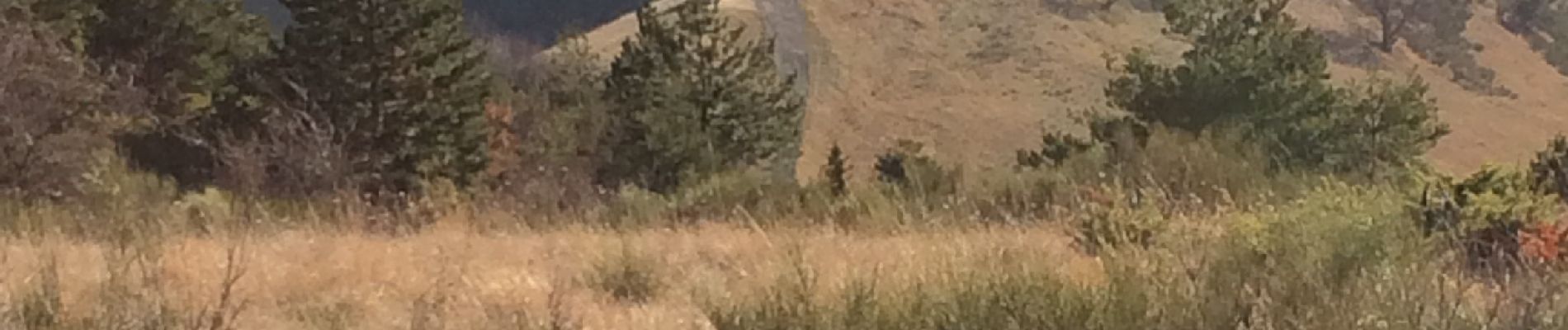
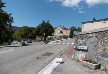
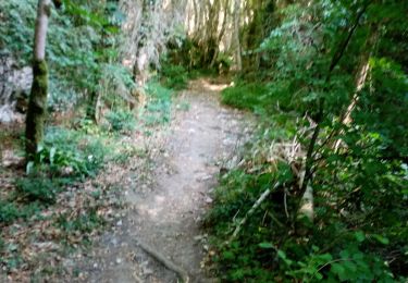
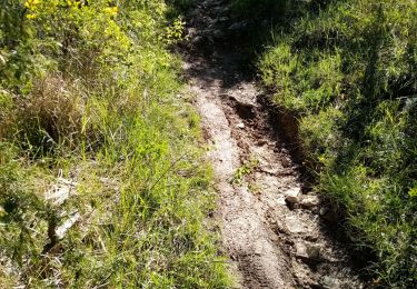
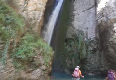
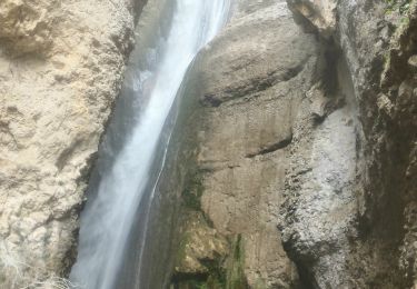
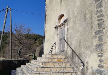
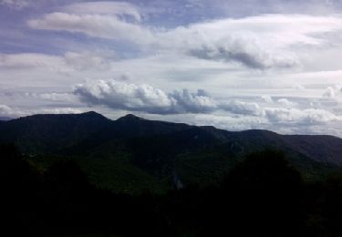
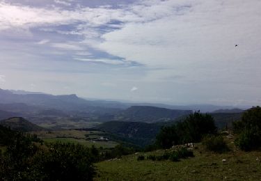
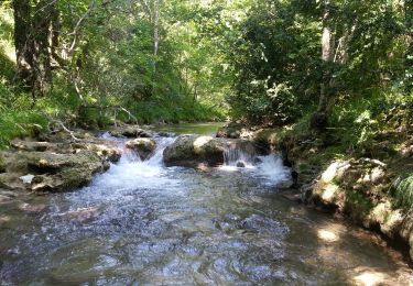
Randonnée Marche de 11,2 km à découvrir à Auvergne-Rhône-Alpes, Drôme, Eygluy-Escoulin. Cette randonnée est proposée par ajd26.

Description

Départ Chapelle d’Escoulin, crêtes jusqu’au col Bernard (qlq passages délicats) et Bec Pointu

Profil altimétrique

Photos

Localisation

Pays :
France
Région :
Auvergne-Rhône-Alpes
Département/Province :
Drôme
Commune :
Eygluy-Escoulin
Localité :
Unknown
Départ:(Dec)
Départ:(UTM)
675099 ; 4963759 (31T) N.

Randonnées à proximité

Randonnée Marche Plan-de-Baix - Canyon des Gueulards - Plateau du Vellan  - Photo
Marche
Philindy26

Marche

Moyen
Plan-de-Baix, Auvergne-Rhône-Alpes, Drôme, France
18,7 km | 28 km-effort
4h 55min
Oui
Randonnée Marche Plan-de-Baix - Le Canyon des Gueulards - Photo
Marche
AIGUIER

Marche

Difficile
Plan-de-Baix, Auvergne-Rhône-Alpes, Drôme, France
14,2 km | 22 km-effort
4h 27min
Oui
Randonnée Marche Montclar-sur-Gervanne - Col de Gerbe - Photo
Marche
AIGUIER

Marche

Moyen
Montclar-sur-Gervanne, Auvergne-Rhône-Alpes, Drôme, France
15,6 km | 22 km-effort
4h 41min
Oui
Randonnée Marche Omblèze - les 3 perles de la servante. - Photo
Marche
Joel26400

Marche

Moyen
Omblèze, Auvergne-Rhône-Alpes, Drôme, France
23 km | 35 km-effort
8h 35min
Oui
Randonnée Marche Omblèze - 03 mai 2019 gorge d'ombreze - Photo
Marche
Parodie69

Marche

Moyen
Omblèze, Auvergne-Rhône-Alpes, Drôme, France
17,5 km | 28 km-effort
6h 35min
Non
Randonnée Marche Eygluy-Escoulin - 26 escoulin berches ayes - Photo
Marche
himba26100

Marche

Moyen
Eygluy-Escoulin, Auvergne-Rhône-Alpes, Drôme, France
11,6 km | 25 km-effort
7h 6min
Oui
Randonnée Marche Omblèze - F26 Ombleze Chafffal - Photo
Marche
ageo

Marche

Facile
Omblèze, Auvergne-Rhône-Alpes, Drôme, France
9,9 km | 16,9 km-effort
4h 14min
Non
Randonnée Marche Plan-de-Baix - F26 Plan de Baix Vélan - Photo
Marche
ageo

Marche

Moyen
Plan-de-Baix, Auvergne-Rhône-Alpes, Drôme, France
10,9 km | 16,1 km-effort
4h 14min
Oui
Randonnée Marche Eygluy-Escoulin - Balade au long de la Gervanne - Description et photos - Photo
Marche
bob2023

Marche

Facile
Eygluy-Escoulin, Auvergne-Rhône-Alpes, Drôme, France
4,3 km | 6 km-effort
1h 33min
Non


Fermer
Mes abonnements