


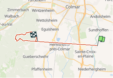

41 km | 52 km-effort


Utilisateur


Application GPS de randonnée GRATUITE
 SityTrail
IGN / Instituts géographiques
SityTrail World
Le monde est à vous
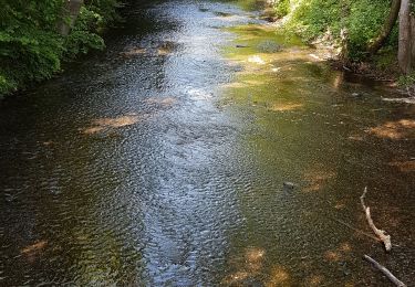
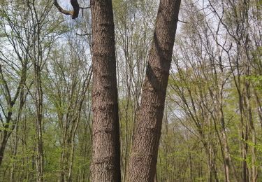
Randonnée Marche de 21 km à découvrir à Grand Est, Haut-Rhin, Logelheim. Cette randonnée est proposée par annejcd.
12 km 500m dénivelé
Marche
Course à pied
Course à pied
Marche

Course à pied

V.T.T.

V.T.C.
Marche

Vélo de route