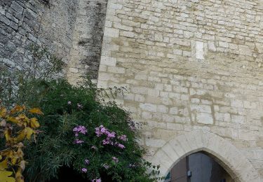
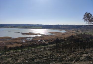
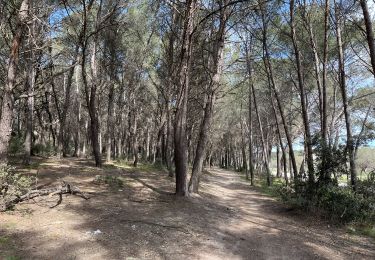
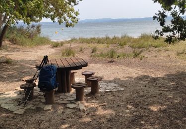
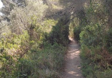
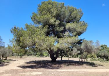
Randonnée Marche Martigues - FR 2020 - Martigues - Port de Saint Mitre les Remparts - Balcons du Cadéraou  - Photo

FR 2020 - Martigues - Port de Saint Mitre les Remparts - Balcons du Cadéraou

 MicDul
MicDul

Utilisateur

© OpenStreetMap contributors
Longueur
Longueur
14,9 km
Altitude max
Altitude max
117 m
Dénivelé positif
Dénivelé positif
335 m
Km-Effort
Km-Effort  
19,3 km
Altitude min
Altitude min
-3 m
Dénivelé négatif
Dénivelé négatif
335 m
Boucle
Boucle
Oui
Date de création :
2020-04-25 17:06:52.046
Dernière modification :
2020-04-29 13:44:40.68

(0 Avis)

Marche
Marche
4h08
Difficulté : Moyen

Scannez ce code QR pour ouvrir la randonnée dans l'application SityTrail

Application GPS de randonnée GRATUITE

Logo SityTrail SityTrail

IGN / Instituts géographiques

Télécharger SityTrail sur l'App Store Télécharger SityTrail sur Google Play

Logo SityTrail SityTrail World

Le monde est à vous

Télécharger SityTrail sur l'App Store Télécharger SityTrail sur Google Play Télécharger SityTrail sur Huawei AppGallery

À propos

Randonnée Marche de 14,9 km à découvrir à Provence-Alpes-Côte d'Azur, Bouches-du-Rhône, Martigues. Cette randonnée est proposée par MicDul.

Profil altimétrique

Photos

Points d'intérêt

Point d'intérêt Martigues - Arrivée / Départ - Photo
MicDul
Point d'intérêt Saint-Mitre-les-Remparts - Sentier côtier dir S - Photo
MicDul
SAINT-MITRE-LES-REMPARTS 
Point d'intérêt Saint-Mitre-les-Remparts - Chemin balisé à gche dir E-N/E - Photo
MicDul
SAINT-MITRE-LES-REMPARTS 
Point d'intérêt Saint-Mitre-les-Remparts - Chemin balisé à gche dir N - Photo
MicDul
SAINT-MITRE-LES-REMPARTS 
Point d'intérêt Saint-Mitre-les-Remparts - Remonter escalier - Photo
MicDul
SAINT-MITRE-LES-REMPARTS 
Point d'intérêt Saint-Mitre-les-Remparts - Descendre les escaliers - Photo
MicDul
SAINT-MITRE-LES-REMPARTS 
Point d'intérêt Saint-Mitre-les-Remparts - Desendre à drte suivre GR - Photo
MicDul
SAINT-MITRE-LES-REMPARTS 
Point d'intérêt Saint-Mitre-les-Remparts - Tout droit dir N puis N-N/O - Photo
MicDul
SAINT-MITRE-LES-REMPARTS 
Point d'intérêt Saint-Mitre-les-Remparts - Continuer à gche jusqu'à la Fontaine du Loup - Photo
MicDul
SAINT-MITRE-LES-REMPARTS 
Point d'intérêt Saint-Mitre-les-Remparts - Traverser D52 et monter tt droit - Photo
MicDul
SAINT-MITRE-LES-REMPARTS 
Point d'intérêt Saint-Mitre-les-Remparts - Tourner à drte dir N - Photo
MicDul
SAINT-MITRE-LES-REMPARTS 
Point d'intérêt Saint-Mitre-les-Remparts - Virage suivre piste dir N - Photo
MicDul
SAINT-MITRE-LES-REMPARTS 
Point d'intérêt Saint-Mitre-les-Remparts - Piste de gche en montée et 50m plus loin à drte - Photo
MicDul
SAINT-MITRE-LES-REMPARTS 
Point d'intérêt Martigues - Piste à gche dir N-N/O - Photo
MicDul

Localisation

Pays :
France
Région :
Provence-Alpes-Côte d'Azur
Département/Province :
Bouches-du-Rhône
Commune :
Martigues
Localité :
Unknown
Départ:(UTM)
665868 ; 4811473 (31T) N.

Randonnées à proximité

Randonnée A pied Saint-Mitre-les-Remparts - Entre mer et étangs - Photo
A pied
PRO

A pied

Très difficile
Saint-Mitre-les-Remparts, Provence-Alpes-Côte d'Azur, Bouches-du-Rhône, France
39 km | 46 km-effort
10h 22min
Oui
Randonnée A pied Saint-Mitre-les-Remparts - Du Crépon aux Rocalèdes - Photo
A pied
PRO

A pied

Facile
Saint-Mitre-les-Remparts, Provence-Alpes-Côte d'Azur, Bouches-du-Rhône, France
6,1 km | 8 km-effort
1h 49min
Oui
Randonnée A pied Port-de-Bouc - Forêt de Castillon Etangs de Pourra et d’Engrenier - Photo
A pied
PRO

A pied

Facile
Port-de-Bouc, Provence-Alpes-Côte d'Azur, Bouches-du-Rhône, France
6,1 km | 7,7 km-effort
1h 45min
Non
Randonnée A pied Saint-Mitre-les-Remparts - Les Tours Gros - Photo
A pied
PRO

A pied

Facile
Saint-Mitre-les-Remparts, Provence-Alpes-Côte d'Azur, Bouches-du-Rhône, France
6,2 km | 7,9 km-effort
1h 48min
Oui
Randonnée Marche Istres - Martigues entre les étangs de Citis et Lavalduc - Photo
Marche
jll7513

Marche

Moyen
Istres, Provence-Alpes-Côte d'Azur, Bouches-du-Rhône, France
6,9 km | 8,3 km-effort
1h 53min
Oui
Randonnée Marche Martigues - Figuerrolles - Photo
Marche
sereton

Marche

Facile
Martigues, Provence-Alpes-Côte d'Azur, Bouches-du-Rhône, France
6,1 km | 7,4 km-effort
1h 43min
Oui
Randonnée Marche Martigues - Promenade sur la rive de l'étang de Berre  - Photo
Marche
sereton

Marche

Facile
Martigues, Provence-Alpes-Côte d'Azur, Bouches-du-Rhône, France
8,3 km | 10,4 km-effort
2h 11min
Oui
Randonnée Marche Martigues - le parc de Figuerolles - Photo
Marche
GUIDE
amiral13

Marche

Très facile
(1)
Martigues, Provence-Alpes-Côte d'Azur, Bouches-du-Rhône, France
9,4 km | 11 km-effort
3h 13min
Oui
Randonnée Marche Saint-Mitre-les-Remparts - Saint mirtre les Remparts  - Photo
Marche
GUIDE
nadinebondoux

Marche

Moyen
Saint-Mitre-les-Remparts, Provence-Alpes-Côte d'Azur, Bouches-du-Rhône, France
16,6 km | 22 km-effort
4h 30min
Oui


Fermer
Mes abonnements