


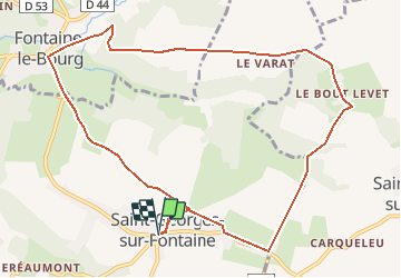

9,9 km | 11,2 km-effort


Utilisateur


Application GPS de randonnée GRATUITE
 SityTrail
IGN / Instituts géographiques
SityTrail World
Le monde est à vous
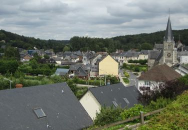
Randonnée Marche de 10,5 km à découvrir à Normandie, Seine-Maritime, Saint-Georges-sur-Fontaine. Cette randonnée est proposée par MichelRando7656.
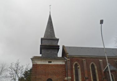
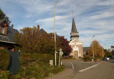
Départ de l’église de Saint-Georges sur Fontaine .
5ens horaire.
randonnee-a5389a7a6c87c1ff79d46a3e01dbaef7

Marche
Marche
Marche

Marche
Marche
Marche
Marche
Marche
V.T.T.