


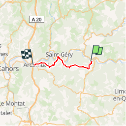


17,7 km | 24 km-effort


Utilisateur


Application GPS de randonnée GRATUITE
 SityTrail
IGN / Instituts géographiques
SityTrail World
Le monde est à vous
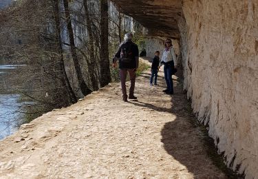
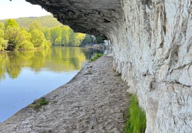
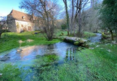
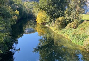
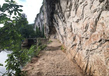
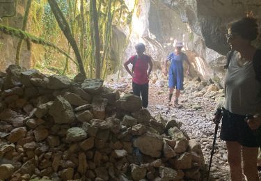
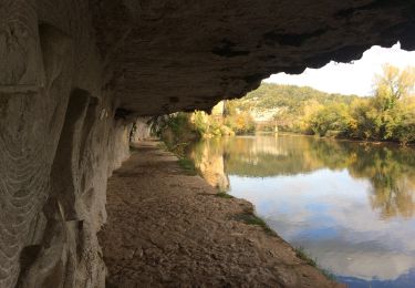
Randonnée Marche de 19,3 km à découvrir à Occitanie, Lot, Saint-Cirq-Lapopie. Cette randonnée est proposée par hallauer.

Marche
Marche


sport
sport
Marche
Marche
Marche
V.T.C.