


15,1 km | 18,7 km-effort


Utilisateur


Application GPS de randonnée GRATUITE
 SityTrail
IGN / Instituts géographiques
SityTrail World
Le monde est à vous
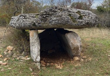
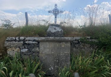
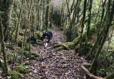
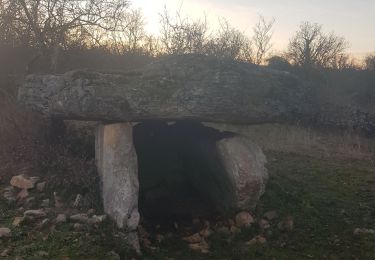
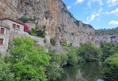
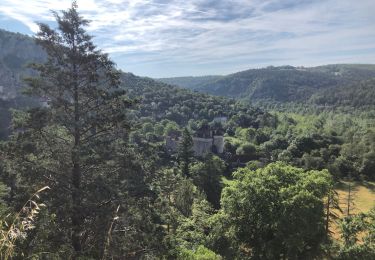
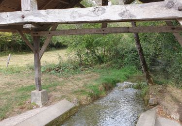
Randonnée Marche de 15,9 km à découvrir à Occitanie, Lot, Lentillac-du-Causse. Cette randonnée est proposée par BernardEsteban.

sport
Marche
Marche

Marche
Marche
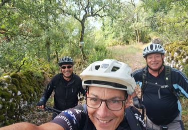
V.T.T.
V.T.T.
Marche
Marche