Randonnée Marche Saint-Lô - BALLADE 2 JUIN - Photo
 PatRando
PatRando

Utilisateur

© OpenStreetMap contributors
Longueur
Longueur
3,1 km
Altitude max
Altitude max
43 m
Dénivelé positif
Dénivelé positif
46 m
Km-Effort
Km-Effort  
3,7 km
Altitude min
Altitude min
14 m
Dénivelé négatif
Dénivelé négatif
44 m
Boucle
Boucle
Oui
Date de création :
2020-06-03 13:21:22.547
Dernière modification :
2020-06-03 14:40:20.665

(0 Avis)

Marche
Marche
51m
Difficulté : Très facile

Scannez ce code QR pour ouvrir la randonnée dans l'application SityTrail

Application GPS de randonnée GRATUITE

Logo SityTrail SityTrail

IGN / Instituts géographiques

Télécharger SityTrail sur l'App Store Télécharger SityTrail sur Google Play

Logo SityTrail SityTrail World

Le monde est à vous

Télécharger SityTrail sur l'App Store Télécharger SityTrail sur Google Play Télécharger SityTrail sur Huawei AppGallery

À propos

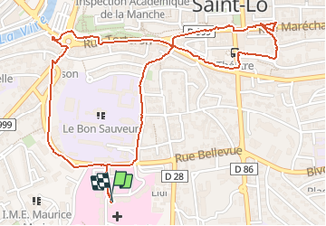
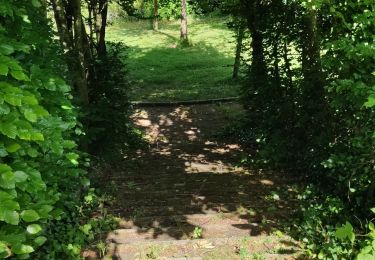
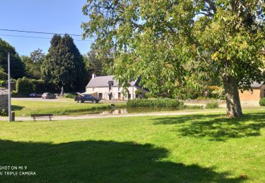
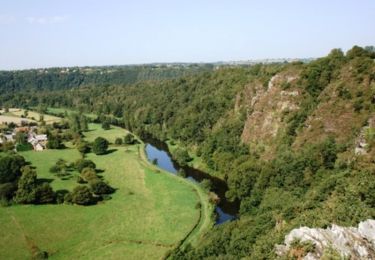
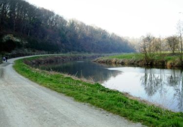
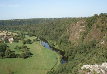
Randonnée Marche de 3,1 km à découvrir à Normandie, Manche, Saint-Lô. Cette randonnée est proposée par PatRando.

Profil altimétrique

Photos

Localisation

Pays :
France
Région :
Normandie
Département/Province :
Manche
Commune :
Saint-Lô
Localité :
Unknown
Départ:(UTM)
638932 ; 5441383 (30U) N.

Randonnées à proximité

Randonnée V.T.T. Agneaux - L'Agnelaise 2014 - Agneaux - Photo
V.T.T.
tracegps

V.T.T.

Difficile
Agneaux, Normandie, Manche, France
44 km | 52 km-effort
3h 0min
Oui
Randonnée Marche Saint-Lô - Saint-Lô - La Vire et le Falaise - Photo
Marche
PatRando

Marche

Facile
Saint-Lô, Normandie, Manche, France
5,4 km | 6,6 km-effort
1h 20min
Oui
Randonnée Marche Saint-Lô - Ballade 2 juin 2020 - Photo
Marche
PatRando

Marche

Très facile
Saint-Lô, Normandie, Manche, France
3,6 km | 4,2 km-effort
1h 2min
Oui
Randonnée Marche Saint-Lô - Ballade - Photo
Marche
PatRando

Marche

Très facile
Saint-Lô, Normandie, Manche, France
814 m | 940 m-effort
22min
Oui
Randonnée Marche Saint-Lô - Le Hutrel 27 ai 2020 - Photo
Marche
PatRando

Marche

Très facile
Saint-Lô, Normandie, Manche, France
2,3 km | 2,9 km-effort
48min
Oui
Randonnée Cheval Bourgvallées - La vallée de la Vire : 3 boucles pour cavaliers - Photo
Cheval
tracegps

Cheval

Difficile
Bourgvallées, Normandie, Manche, France
44 km | 53 km-effort
9h 0min
Oui
Randonnée V.T.T. Saint-Lô - Au pied des remparts de Saint-Lô - Photo
V.T.T.
tracegps

V.T.T.

Moyen
Saint-Lô, Normandie, Manche, France
18,2 km | 23 km-effort
2h 0min
Oui
Randonnée V.T.T. Saint-Lô - Les Roches du Ham - Saint Lo - Photo
V.T.T.
tracegps

V.T.T.

Difficile
Saint-Lô, Normandie, Manche, France
31 km | 37 km-effort
2h 0min
Oui
Randonnée Marche Saint-Lô - 1er - Photo
Marche
Raymond Demeestere

Marche

Moyen
Saint-Lô, Normandie, Manche, France
6,6 km | 8,3 km-effort
1h 47min
Oui


Fermer
Mes abonnements