


MM2 camp deGer

LouisROGER
Utilisateur GUIDE
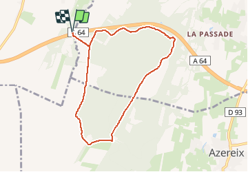

Longueur
8,5 km

Altitude max
446 m

Dénivelé positif
153 m
Km-Effort
10,5 km

Altitude min
326 m

Dénivelé négatif
153 m
Boucle
Oui
Date de création :
2019-09-30 06:43:25.709
Dernière modification :
2020-06-16 08:08:20.241
2h10
Difficulté : Très facile

Application GPS de randonnée GRATUITE
 SityTrail
IGN / Instituts géographiques
SityTrail Plus
Le monde est à vous
À propos
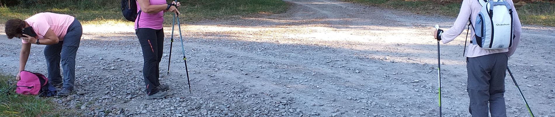
Randonnée Marche nordique de 8,5 km à découvrir à Nouvelle-Aquitaine, Pyrénées-Atlantiques, Ger. Cette randonnée est proposée par LouisROGER.
Photos

Localisation
Pays :
France
Région :
Nouvelle-Aquitaine
Département/Province :
Pyrénées-Atlantiques
Commune :
Ger
Localité :
Unknown
Départ:(Dec)
Départ:(UTM)
739846 ; 4790846 (30T) N.
Commentaires