


Haut Ittre - Ittre Partiel 2020 06 16

ThierryGABRIEL
Utilisateur
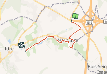

Longueur
4,5 km

Altitude max
128 m

Dénivelé positif
27 m
Km-Effort
5 km

Altitude min
82 m

Dénivelé négatif
70 m
Boucle
Non
Date de création :
2020-06-16 07:39:56.495
Dernière modification :
2020-06-16 10:32:32.827
2h49
Difficulté : Facile

Application GPS de randonnée GRATUITE
 SityTrail
IGN / Instituts géographiques
SityTrail Plus
Le monde est à vous
À propos
Randonnée Marche de 4,5 km à découvrir à Wallonie, Brabant wallon, Ittre. Cette randonnée est proposée par ThierryGABRIEL.
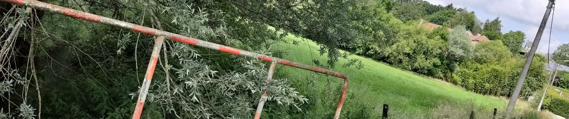
Photos


Localisation
Pays :
Belgique
Région :
Wallonie
Département/Province :
Brabant wallon
Commune :
Ittre
Localité :
Haut-Ittre
Départ:(Dec)
Départ:(UTM)
591847 ; 5612798 (31U) N.
Commentaires