


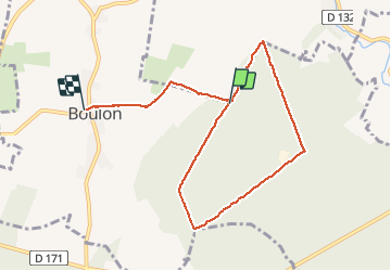

6,5 km | 7,5 km-effort


Utilisateur


Application GPS de randonnée GRATUITE
 SityTrail
IGN / Instituts géographiques
SityTrail World
Le monde est à vous
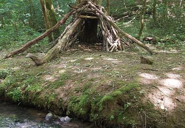
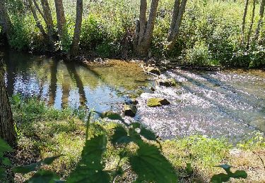
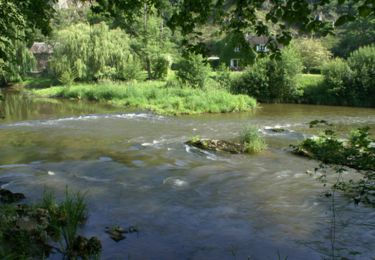
Randonnée Marche de 7,6 km à découvrir à Normandie, Calvados, Boulon. Cette randonnée est proposée par gr1346.
belle rando assez facile par temps sec
Geocaching
V.T.T.

Course à pied
V.T.T.

V.T.T.
V.T.T.
V.T.T.