


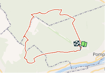

18,7 km | 24 km-effort


Utilisateur


Application GPS de randonnée GRATUITE
 SityTrail
IGN / Instituts géographiques
SityTrail World
Le monde est à vous
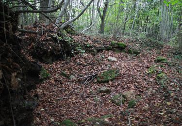
Randonnée Marche de 9,1 km à découvrir à Grand Est, Meurthe-et-Moselle, Pompey. Cette randonnée est proposée par joelclaudel.
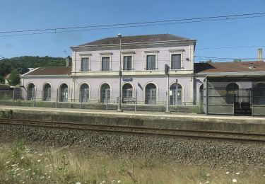
Départ parking Parc Aventure (centre de Loisirs)
A pied

A pied

Marche
Cyclotourisme
A pied
A pied
A pied

A pied
A pied