


49 km | 54 km-effort

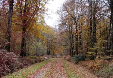
En pleine nature


Application GPS de randonnée GRATUITE
 SityTrail
IGN / Instituts géographiques
SityTrail World
Le monde est à vous
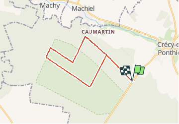
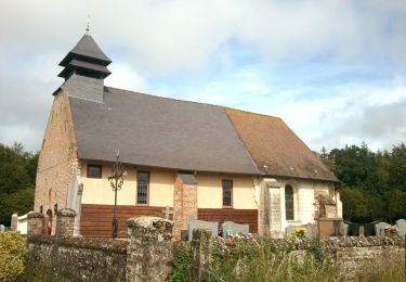
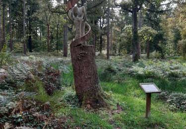
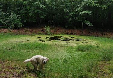
Randonnée V.T.T. de 12,6 km à découvrir à Hauts-de-France, Somme, Crécy-en-Ponthieu. Cette randonnée est proposée par Sportiva France.


Vélo

V.T.T.
Marche

Marche

Marche
A pied
Marche
Marche
Marche