Randonnée V.T.T. Sébazac-Concourès - Rodez Agglomeration - Circuit 8 - La cazelle - Photo

Rodez Agglomeration - Circuit 8 - La cazelle

 randoruthene
randoruthene

Utilisateur

© OpenStreetMap contributors
Longueur
Longueur
4,3 km
Altitude max
Altitude max
607 m
Dénivelé positif
Dénivelé positif
40 m
Km-Effort
Km-Effort  
4,8 km
Altitude min
Altitude min
583 m
Dénivelé négatif
Dénivelé négatif
42 m
Boucle
Boucle
Oui
Date de création :
2020-07-27 09:53:02.491
Dernière modification :
2020-07-27 09:53:40.239

(0 Avis)

V.T.T.
V.T.T.
19m
Difficulté : Facile

Scannez ce code QR pour ouvrir la randonnée dans l'application SityTrail

Application GPS de randonnée GRATUITE

Logo SityTrail SityTrail

IGN / Instituts géographiques

Télécharger SityTrail sur l'App Store Télécharger SityTrail sur Google Play

Logo SityTrail SityTrail World

Le monde est à vous

Télécharger SityTrail sur l'App Store Télécharger SityTrail sur Google Play Télécharger SityTrail sur Huawei AppGallery

À propos

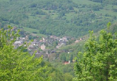
Randonnée V.T.T. de 4,3 km à découvrir à Occitanie, Aveyron, Sébazac-Concourès. Cette randonnée est proposée par randoruthene.

Description

Espace VTT Rodez Agglo - 400 km de chemins balisés - 18 circuits labéllisés FFC
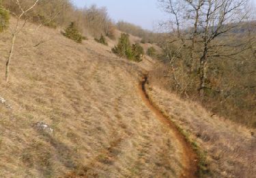
Vous attaquerez ce circuit vert tout en douceur en faisant une boucle autour de stade de football de Sébazac.
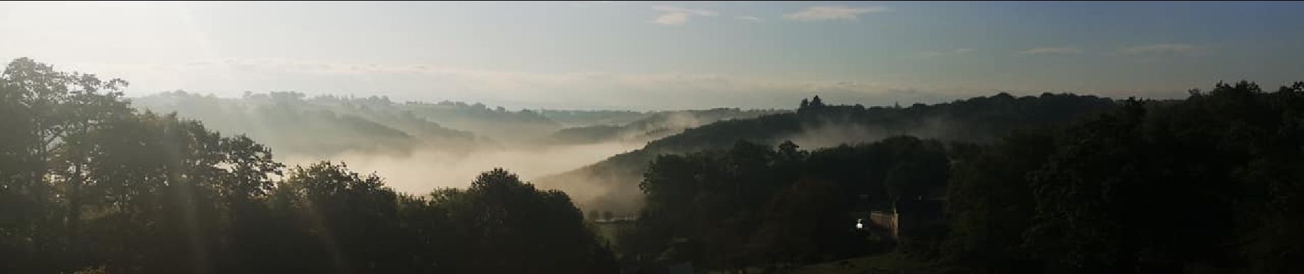
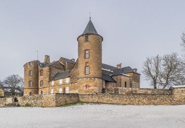
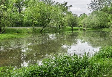
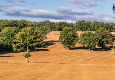
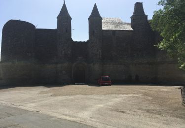
Près de Rodez, sur le causse notamment de Sébazac, vous pourrez découvrir de sublimes paysages encore sauvages et préservés avec la présence de buis et genévriers, ainsi que des cazelles (petits abris de pierres sèches construits par les bergers, qui leur servaient de refuge pour se protéger).

Profil altimétrique

Photos

Localisation

Pays :
France
Région :
Occitanie
Département/Province :
Aveyron
Commune :
Sébazac-Concourès
Localité :
Unknown
Départ:(UTM)
468477 ; 4917530 (31T) N.

Randonnées à proximité

Randonnée V.T.T. Onet-le-Château - Randonnée VTT boucle d'Onet le Château à Macillac - Photo
V.T.T.
tracegps

V.T.T.

Difficile
(1)
Onet-le-Château, Occitanie, Aveyron, France
39 km | 51 km-effort
5h 40min
Oui
Randonnée V.T.T. Onet-le-Château - Onet - Mondalazac - Onet - Photo
V.T.T.
tracegps

V.T.T.

Difficile
(2)
Onet-le-Château, Occitanie, Aveyron, France
45 km | 52 km-effort
4h 0min
Non
Randonnée A pied Onet-le-Château - Circuit 20 Vabres - Photo
A pied
PRO

A pied

Facile
Onet-le-Château, Occitanie, Aveyron, France
4,9 km | 5,8 km-effort
1h 18min
Oui
Randonnée A pied Sébazac-Concourès - Circuit 18 Nord de Sébazac - Photo
A pied
PRO

A pied

Facile
Sébazac-Concourès, Occitanie, Aveyron, France
3,2 km | 3,7 km-effort
50min
Non
Randonnée A pied Onet-le-Château - Circuit 21 Onet-Village - Photo
A pied
PRO

A pied

Facile
Onet-le-Château, Occitanie, Aveyron, France
9 km | 10,8 km-effort
2h 26min
Non
Randonnée A pied Sébazac-Concourès - Circuit 19 Onet-l'Eglise - Photo
A pied
PRO

A pied

Facile
Sébazac-Concourès, Occitanie, Aveyron, France
7,9 km | 9 km-effort
2h 3min
Oui
Randonnée A pied Sébazac-Concourès - Circuit 17 Concourès - Photo
A pied
PRO

A pied

Facile
Sébazac-Concourès, Occitanie, Aveyron, France
9 km | 10,6 km-effort
2h 24min
Oui
Randonnée Marche Sébazac-Concourès - lo camin polida vista - Photo
Marche
Lacaze

Marche

Facile
(1)
Sébazac-Concourès, Occitanie, Aveyron, France
8,5 km | 9,6 km-effort
3h 0min
Oui
Randonnée Marche Onet-le-Château - Onet le Château  - Photo
Marche
richardsimopons

Marche

Moyen
Onet-le-Château, Occitanie, Aveyron, France
9,3 km | 11,1 km-effort
3h 41min
Oui


Fermer
Mes abonnements