


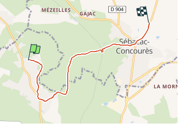

39 km | 51 km-effort

Utilisateur


Application GPS de randonnée GRATUITE
 SityTrail
IGN / Instituts géographiques
SityTrail World
Le monde est à vous
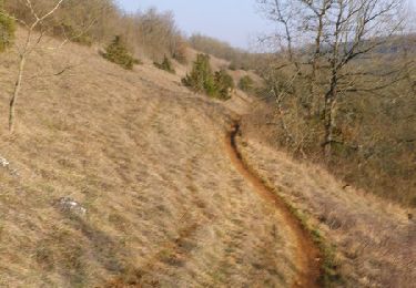
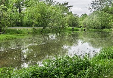
Randonnée V.T.T. de 6 km à découvrir à Occitanie, Aveyron, Onet-le-Château. Cette randonnée est proposée par randoruthene.
Espace VTT Rodez Agglo - 400 km de chemins balisés - 18 circuits labéllisés FFC

V.T.T.
Marche
V.T.T.

A pied
A pied
A pied
A pied
A pied

Marche