


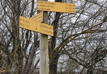
3,9 km | 4,3 km-effort


Utilisateur

Application GPS de randonnée GRATUITE
 SityTrail
IGN / Instituts géographiques
SityTrail World
Le monde est à vous
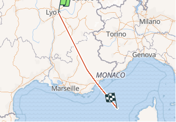
Randonnée Avion de 408 km à découvrir à Auvergne-Rhône-Alpes, Rhône, Colombier-Saugnieu. Cette randonnée est proposée par bubufred.
Marche
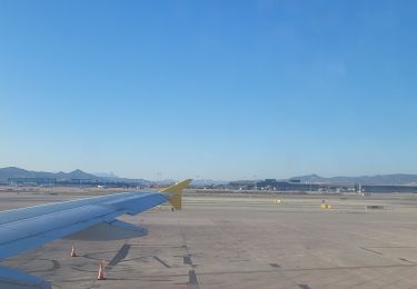
Avion

Marche
Marche

Autre activité


sport
Marche

Voiture
Marche