


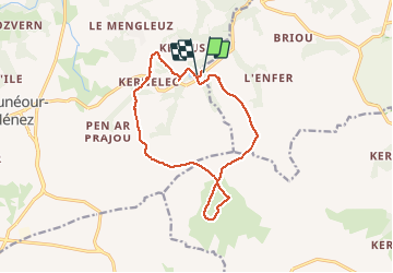


32 km | 39 km-effort

Utilisateur


Application GPS de randonnée GRATUITE
 SityTrail
IGN / Instituts géographiques
SityTrail World
Le monde est à vous
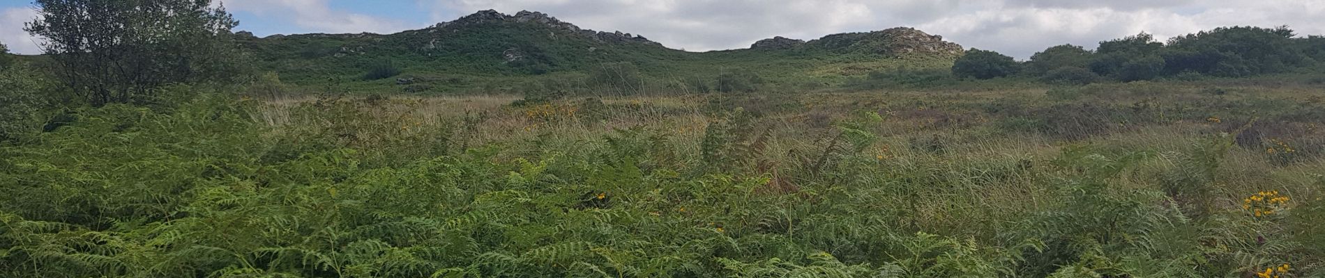
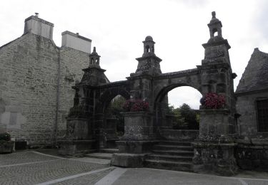
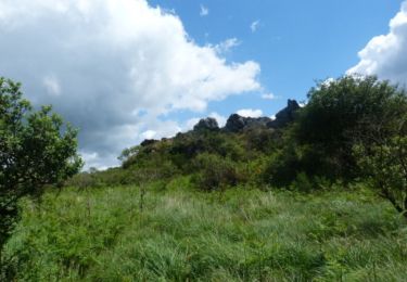
Randonnée Marche de 13,2 km à découvrir à Bretagne, Finistère, Plounéour-Ménez. Cette randonnée est proposée par neleda.


V.T.T.
A pied

Marche
Marche
A pied
Marche
Marche

V.T.T.

Marche