


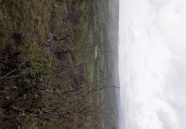
8,6 km | 12 km-effort


Utilisateur


Application GPS de randonnée GRATUITE
 SityTrail
IGN / Instituts géographiques
SityTrail World
Le monde est à vous
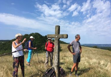
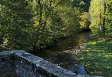
Randonnée Marche de 15,4 km à découvrir à Occitanie, Aveyron, Fondamente. Cette randonnée est proposée par nanie.
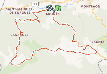
Boucle qui vous mène à la croix de Serre Pountchut, promesse d’un panorama sur la vallée de la Sorgues et le plateau du Guilhaumard
Marche
Marche

Marche


sport
Marche
Marche

Autre activité
Marche