


11,2 km | 15,7 km-effort


Utilisateur


Application GPS de randonnée GRATUITE
 SityTrail
IGN / Instituts géographiques
SityTrail World
Le monde est à vous
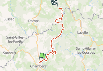
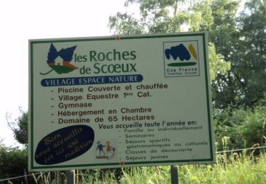
Randonnée Marche de 21 km à découvrir à Nouvelle-Aquitaine, Corrèze, Chamberet. Cette randonnée est proposée par CIE NPS.
Variante de 35 km sur le chemin vers Rocamadour et Saint-Jacques-de-Compostelle. Retrouvez tous les hébergements et services partenaires sur http://www.chemin-de-st-jacques-voie-de-rocamadour-limousin-haut-quercy.fr
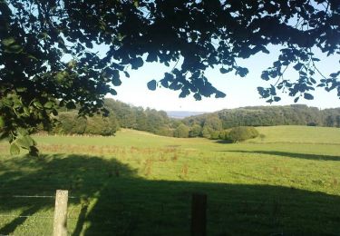
Marche
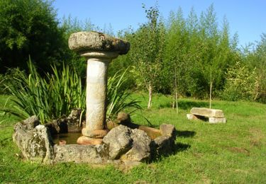
Marche
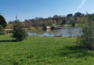
Marche
Marche
Marche

Marche
Marche
Marche
Marche