


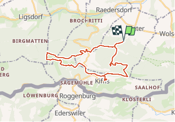

13,1 km | 21 km-effort

Utilisateur GUIDE


Application GPS de randonnée GRATUITE
 SityTrail
IGN / Instituts géographiques
SityTrail World
Le monde est à vous
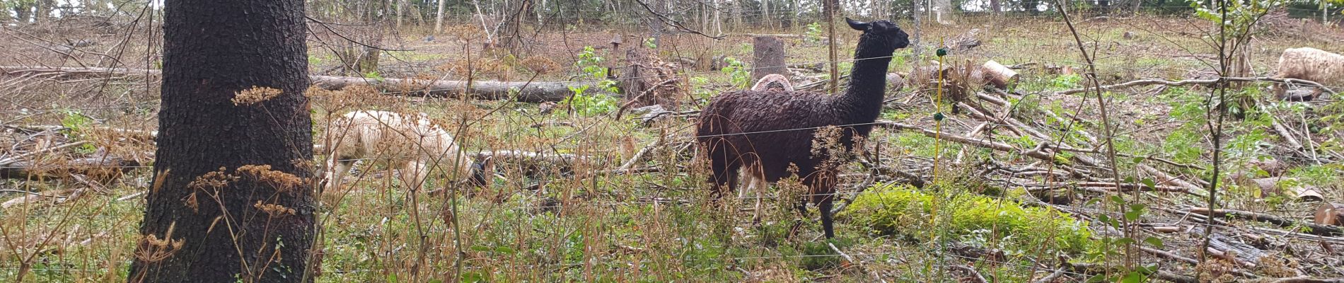
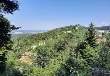
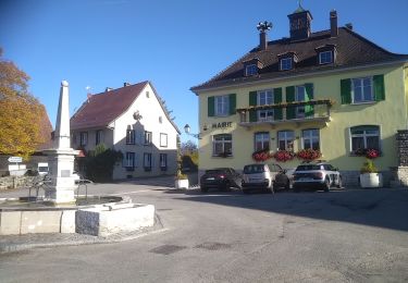
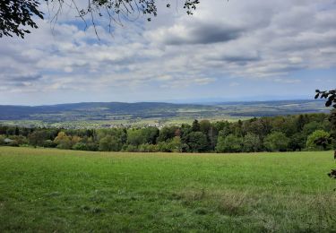
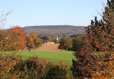
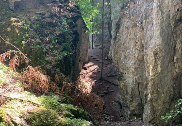
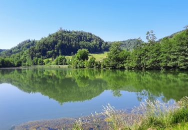
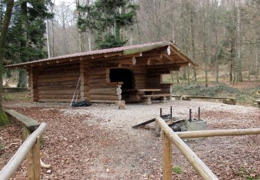
Randonnée Marche de 15,8 km à découvrir à Grand Est, Haut-Rhin, Lutter. Cette randonnée est proposée par stempfel52.


Marche
Marche
Marche
Marche

Cheval
Vélo
Marche
Vélo de route
Marche