Randonnée Marche Léau - Zoutleeuw 16 km - Photo
 rvapeldo
rvapeldo

Utilisateur GUIDE

© OpenStreetMap contributors
Longueur
Longueur
15,6 km
Altitude max
Altitude max
37 m
Dénivelé positif
Dénivelé positif
69 m
Km-Effort
Km-Effort  
16,5 km
Altitude min
Altitude min
24 m
Dénivelé négatif
Dénivelé négatif
68 m
Boucle
Boucle
Oui
Date de création :
2020-10-17 09:23:12.0
Dernière modification :
2020-10-18 05:48:49.846

(1 Avis)

Marche
Marche
3h59
Difficulté : Très facile

Scannez ce code QR pour ouvrir la randonnée dans l'application SityTrail

Application GPS de randonnée GRATUITE

Logo SityTrail SityTrail

IGN / Instituts géographiques

Télécharger SityTrail sur l'App Store Télécharger SityTrail sur Google Play

Logo SityTrail SityTrail World

Le monde est à vous

Télécharger SityTrail sur l'App Store Télécharger SityTrail sur Google Play Télécharger SityTrail sur Huawei AppGallery

À propos

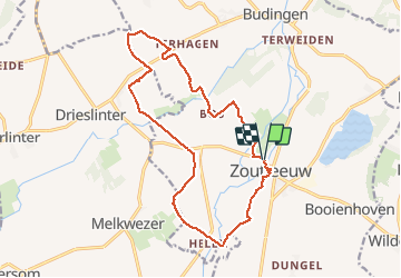
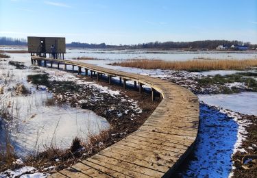
Randonnée Marche de 15,6 km à découvrir à Flandre, Brabant flamand, Léau. Cette randonnée est proposée par rvapeldo.

Description

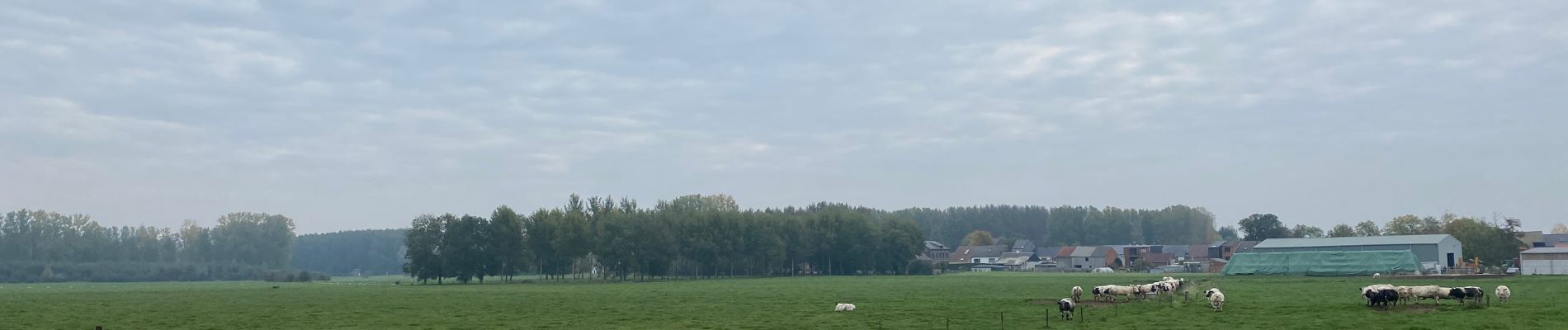
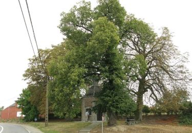
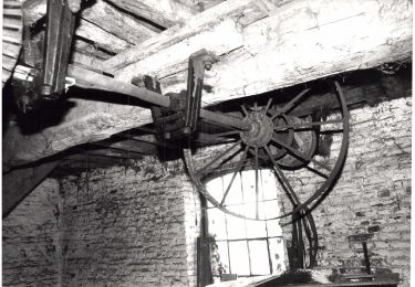
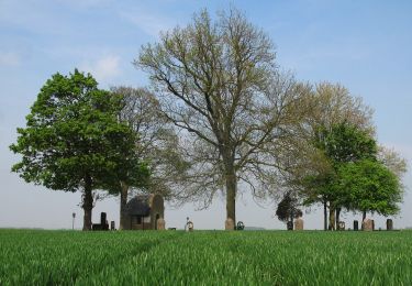
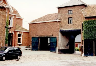
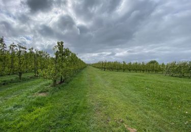
Une belle surprise que la campagne environnant la charmante ville de Zoutleeuw (église et hotel de ville remarquables), sillonnée par de nombreux cours d’eau et canaux  (Leigracht, Kleine Gete, Grote Gete,...), où sont cultivés poiriers et pommiers. Le parcours peut aisément être allongé.
Een leuke verrassing dat het platteland rondom het charmante stadje Zoutleeuw (opmerkelijke kerk en stadhuis), doorkruist door talloze rivieren en kanalen (Leigracht, Kleine Gete, Grote Gete, ...), waar perenbomen worden gekweekt en  appelbomen.  De route kan eenvoudig worden verlengd.

Profil altimétrique

Photos

Localisation

Pays :
Belgique
Région :
Flandre
Département/Province :
Brabant flamand
Commune :
Léau
Localité :
Léau
Départ:(Dec)
Départ:(UTM)
647950 ; 5633633 (31U) N.

Commentaires

Veuillez vous connecter pour laisser un commentaire ou une note


Randonnées à proximité

Randonnée A pied Kortenaken - A Speculowandelpad - Photo
A pied
PRO

A pied

Facile
Kortenaken, Flandre, Brabant flamand, Belgique
6 km | 7 km-effort
1h 35min
Oui
Randonnée A pied Saint-Trond - Staaien rode driehoek - Photo
A pied
PRO

A pied

Facile
Saint-Trond, Flandre, Limbourg, Belgique
9,4 km | 10,1 km-effort
2h 18min
Oui
Randonnée A pied Saint-Trond - Staaien oranje bol - Photo
A pied
PRO

A pied

Facile
Saint-Trond, Flandre, Limbourg, Belgique
6,4 km | 7 km-effort
1h 35min
Oui
Randonnée A pied Léau - Kempinnewandeling - Photo
A pied
PRO

A pied

Facile
Léau, Flandre, Brabant flamand, Belgique
12,2 km | 13,4 km-effort
3h 2min
Non
Randonnée A pied Léau - Panbruggewandeling - Photo
A pied
PRO

A pied

Facile
(1)
Léau, Flandre, Brabant flamand, Belgique
8,9 km | 9,7 km-effort
2h 12min
Oui
Randonnée Marche Linter - Melkwezer Haspengouw GroteGetewandeling - 11 km RT - Photo
Marche
wandelroutes

Marche

Très facile
(1)
Linter, Flandre, Brabant flamand, Belgique
10,9 km | 11,8 km-effort
Inconnu
Oui
Randonnée Marche Léau - S-GR Hageland : Terhagen - Diest - Photo
Marche
dauzata

Marche

Moyen
Léau, Flandre, Brabant flamand, Belgique
25 km | 28 km-effort
6h 18min
Non
Randonnée Marche Léau - Promenade romantique dans la Vallée de la Gette - Photo
Marche
GUIDE+

Marche

Facile
Léau, Flandre, Brabant flamand, Belgique
4,3 km | 4,7 km-effort
1h 4min
Oui
Randonnée Marche Saint-Trond - La reserve naturelle Op d’Hei à Runkelen - Photo
Marche
Benjamin27

Marche

Facile
Saint-Trond, Flandre, Limbourg, Belgique
1,6 km | 1,6 km-effort
22min
Oui


Fermer
Mes abonnements