


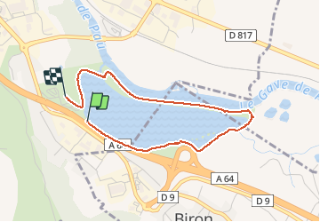

14,4 km | 17,2 km-effort

Utilisateur GUIDE


Application GPS de randonnée GRATUITE
 SityTrail
IGN / Instituts géographiques
SityTrail World
Le monde est à vous
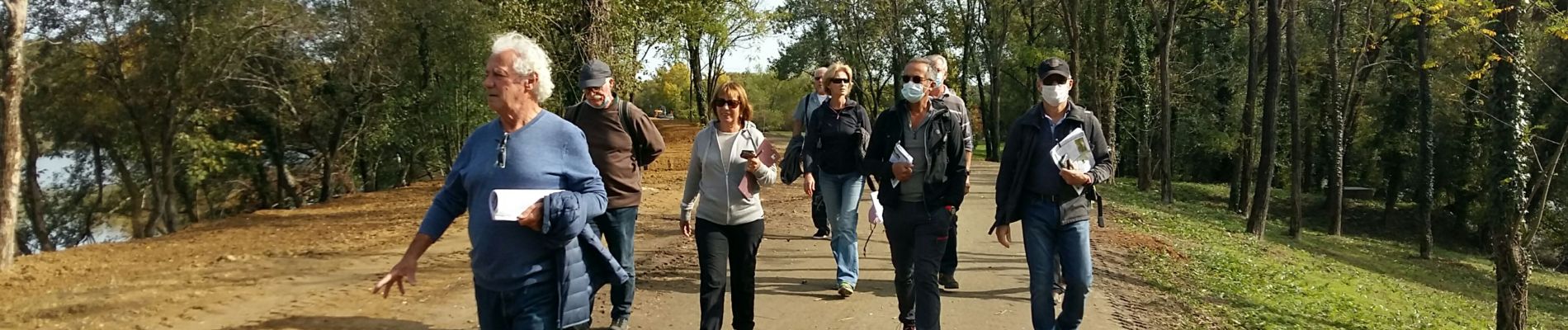
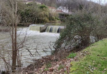
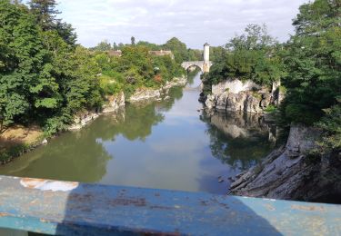
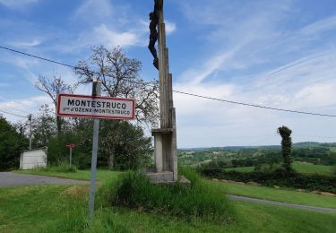
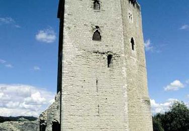
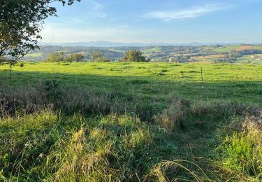
Randonnée Marche de 3,5 km à découvrir à Nouvelle-Aquitaine, Pyrénées-Atlantiques, Orthez. Cette randonnée est proposée par marmotte65.


Marche
A pied
Marche nordique
Marche
Marche

Course à pied

V.T.T.
Marche
Marche