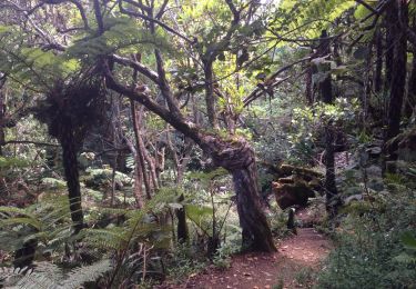
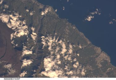
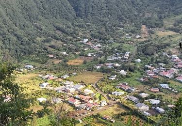
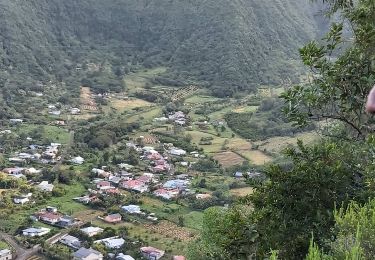
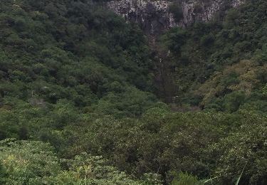
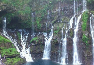
Randonnée Marche Saint-Joseph - Cap blanc - Bourg Murat - Photo

Cap blanc - Bourg Murat

 GilbertLP
GilbertLP

Utilisateur

© OpenStreetMap contributors
Longueur
Longueur
31 km
Altitude max
Altitude max
2435 m
Dénivelé positif
Dénivelé positif
2000 m
Km-Effort
Km-Effort  
54 km
Altitude min
Altitude min
612 m
Dénivelé négatif
Dénivelé négatif
1031 m
Boucle
Boucle
Non
Date de création :
2021-01-05 05:46:07.05
Dernière modification :
2021-01-05 06:01:30.64

(0 Avis)

Marche
Marche
11h31
Difficulté : Très difficile

Scannez ce code QR pour ouvrir la randonnée dans l'application SityTrail

Application GPS de randonnée GRATUITE

Logo SityTrail SityTrail

IGN / Instituts géographiques

Télécharger SityTrail sur l'App Store Télécharger SityTrail sur Google Play

Logo SityTrail SityTrail World

Le monde est à vous

Télécharger SityTrail sur l'App Store Télécharger SityTrail sur Google Play Télécharger SityTrail sur Huawei AppGallery

À propos

Randonnée Marche de 31 km à découvrir à La Réunion, Inconnu, Saint-Joseph. Cette randonnée est proposée par GilbertLP.

Description

Cette randonnée, à réserver à de marcheurs expérimentés, relie Grand Galet à Bourg Murat, en passant par Cap blanc, Grand Pays, Plaine des Sables, Oratoire Ste Thérèse, Piton Textor, Piton Guichard. D'une longueur de près de 30 km, elle présente un dénivelé positif de 2000 m. Compter au minimum 10 heures, voire 12 heures de marche.

Profil altimétrique

Localisation

Pays :
France
Région :
La Réunion
Département/Province :
Inconnu
Commune :
Saint-Joseph
Localité :
Unknown
Départ:(Dec)
Départ:(UTM)
359388 ; 7644060 (40K) S.

Randonnées à proximité

Randonnée Marche Le Tampon - sentier botanique  - Photo
Marche
francejpp

Marche

Très facile
(2)
Le Tampon, La Réunion, Inconnu, France
1,9 km | 2,6 km-effort
48min
Oui
Randonnée A pied Saint-Joseph - Boucle des Margosiers - Photo
A pied
PRO

A pied

Moyen
Saint-Joseph, La Réunion, Inconnu, France
11,3 km | 22 km-effort
5h 5min
Oui
Randonnée Marche Saint-Joseph - Cap Blanc - Bourg Murat - Photo
Marche
GilbertLP

Marche

Très difficile
(1)
Saint-Joseph, La Réunion, Inconnu, France
26 km | 49 km-effort
10h 16min
Non
Randonnée Marche Saint-Joseph - Boucle des Margosiers - Photo
Marche
GilbertLP

Marche

Très difficile
Saint-Joseph, La Réunion, Inconnu, France
14 km | 25 km-effort
5h 7min
Oui
Randonnée Marche Saint-Joseph - L'aire du Rond à la Plaine des Grègues et le sentier de Curcuma - Photo
Marche
GilbertLP

Marche

Moyen
Saint-Joseph, La Réunion, Inconnu, France
5,2 km | 9,2 km-effort
1h 52min
Oui
Randonnée Marche Saint-Joseph - piton du rond  - Photo
Marche
olivier5960

Marche

Difficile
Saint-Joseph, La Réunion, Inconnu, France
10,7 km | 22 km-effort
5h 18min
Non
Randonnée Marche Saint-Joseph - La Réunion - Cascade du Grand Galet  - Photo
Marche
olive2b

Marche

Très facile
Saint-Joseph, La Réunion, Inconnu, France
559 m | 829 m-effort
11min
Non
Randonnée Marche Saint-Joseph - curcuma  - Photo
Marche
Jo Cornaz

Marche

Très difficile
Saint-Joseph, La Réunion, Inconnu, France
3,6 km | 7 km-effort
10h 0min
Non
Randonnée Marche Saint-Joseph - cascades des grands galets - Photo
Marche
Ninie38MD

Marche

Moyen
Saint-Joseph, La Réunion, Inconnu, France
2,2 km | 3 km-effort
1h 4min
Non


Fermer
Mes abonnements