


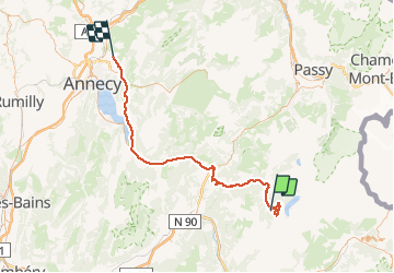

8,2 km | 17,9 km-effort


Utilisateur


Application GPS de randonnée GRATUITE
 SityTrail
IGN / Instituts géographiques
SityTrail World
Le monde est à vous
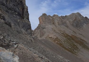
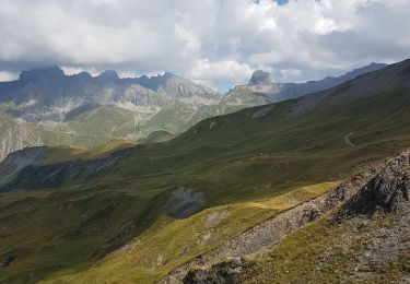
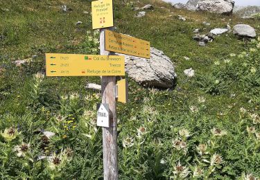
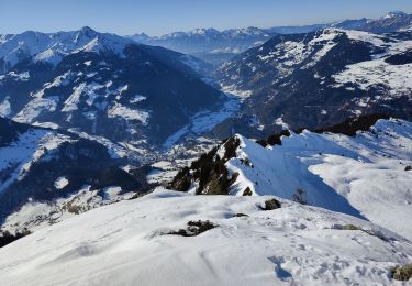
Randonnée Raquettes à neige de 79 km à découvrir à Auvergne-Rhône-Alpes, Savoie, Beaufort. Cette randonnée est proposée par olivecoco.
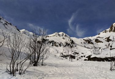
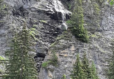
en hiver en raquettes, des vues a couper le souffle et si la neige est poudreuse, un magnifique terrain de jeu

Marche
Marche
Ski de randonnée
Marche
Marche
Marche
Marche
Ski de randonnée
Marche