


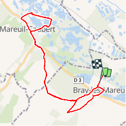


7,5 km | 9,4 km-effort


Utilisateur


Application GPS de randonnée GRATUITE
 SityTrail
IGN / Instituts géographiques
SityTrail World
Le monde est à vous
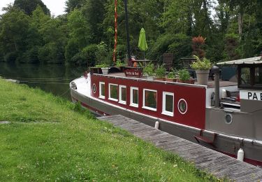
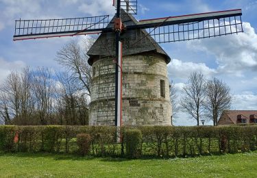
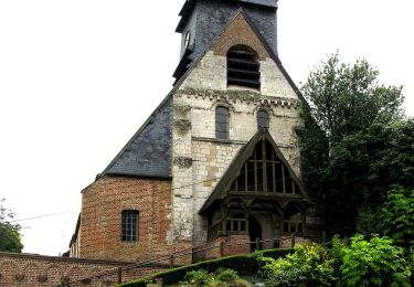
Randonnée Marche de 10 km à découvrir à Hauts-de-France, Somme, Bray-lès-Mareuil. Cette randonnée est proposée par frederic0308.
Nature

Marche
A pied
Marche
Marche
Marche
Marche
A pied
A pied

A pied