


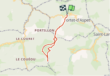


11,8 km | 18,7 km-effort

Utilisateur


Application GPS de randonnée GRATUITE
 SityTrail
IGN / Instituts géographiques
SityTrail World
Le monde est à vous
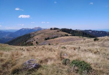
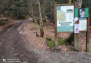
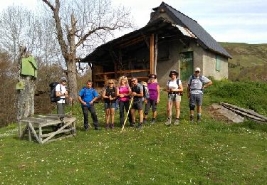
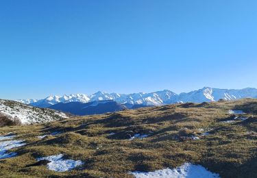
Randonnée Marche de 12,4 km à découvrir à Occitanie, Haute-Garonne, Portet-d'Aspet. Cette randonnée est proposée par chrisgps.
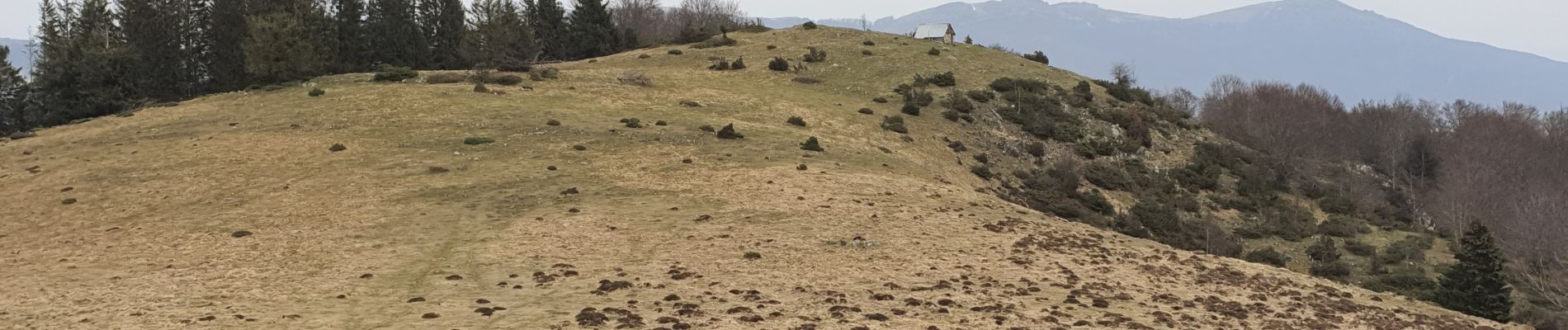
beau parcours et beau panorama


V.T.T.
Marche
Marche
Marche
Marche

V.T.T.

Marche
Marche
Marche