


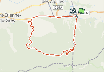

19,2 km | 27 km-effort


Utilisateur


Application GPS de randonnée GRATUITE
 SityTrail
IGN / Instituts géographiques
SityTrail World
Le monde est à vous
Randonnée Marche de 9,9 km à découvrir à Provence-Alpes-Côte d'Azur, Bouches-du-Rhône, Saint-Rémy-de-Provence. Cette randonnée est proposée par Valmouriane.
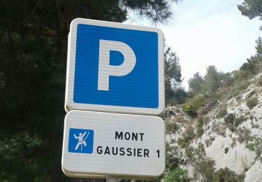
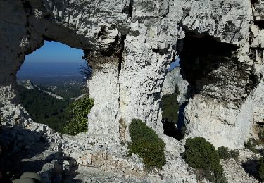
départ mas Chabert, passage en crête GR6, descente ND château, retour par le canal, une portion sur le vieux chemin d'Arles!!
Marche

Marche
V.T.T.
V.T.T.

Attelage
Marche

Marche
Marche
Marche