

la boulinie

Patricew
Utilisateur

Longueur
9,8 km

Altitude max
259 m

Dénivelé positif
161 m

Km-Effort
12 km

Altitude min
157 m

Dénivelé négatif
160 m
Boucle
Oui
Date de création :
2021-04-18 14:07:58.778
Dernière modification :
2021-04-21 12:19:43.747
1h54
Difficulté : Facile

Application GPS de randonnée GRATUITE
À propos
Randonnée Marche de 9,8 km à découvrir à Nouvelle-Aquitaine, Dordogne, Thiviers. Cette randonnée est proposée par Patricew.
Description
belle randonnée de 10 km assez facile
Départ voie verte, allez jusqu'à Saint Jean de Cole par voie verte, suivre le parcours
Pas de problème particulier
Localisation
Pays :
France
Région :
Nouvelle-Aquitaine
Département/Province :
Dordogne
Commune :
Thiviers
Localité :
Unknown
Départ:(Dec)
Départ:(UTM)
335008 ; 5032479 (31T) N.
Commentaires
Randonnées à proximité
Saint-Jean de colle la côte 12 km


Marche
Facile
(1)
Saint-Jean-de-Côle,
Nouvelle-Aquitaine,
Dordogne,
France

12 km | 14,4 km-effort
2h 51min
Oui
Thiviers vtt


V.T.T.
Très facile
Thiviers,
Nouvelle-Aquitaine,
Dordogne,
France

48 km | 58 km-effort
6h 2min
Oui
Saint jean de Côle/St Martin


Marche
Saint-Jean-de-Côle,
Nouvelle-Aquitaine,
Dordogne,
France

12 km | 15,3 km-effort
3h 23min
Oui
La Servolle 2


Marche
Facile
Eyzerac,
Nouvelle-Aquitaine,
Dordogne,
France

12,4 km | 14,9 km-effort
3h 16min
Oui
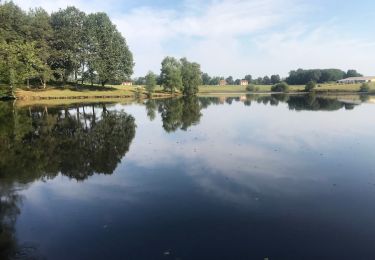
St Martin de Fressengeas


Marche
Moyen
(1)
Saint-Martin-de-Fressengeas,
Nouvelle-Aquitaine,
Dordogne,
France

12,6 km | 16,7 km-effort
4h 46min
Oui
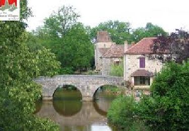
Saint Jean de Côle


Marche
Difficile
Saint-Jean-de-Côle,
Nouvelle-Aquitaine,
Dordogne,
France

13 km | 15,6 km-effort
3h 32min
Oui
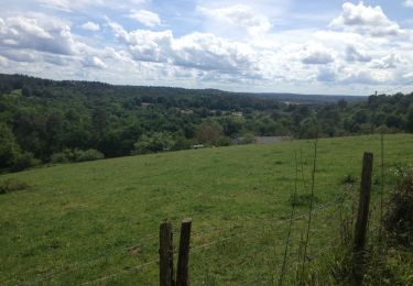
24 Saint-Jean-de-Côle


Marche
Facile
Saint-Jean-de-Côle,
Nouvelle-Aquitaine,
Dordogne,
France

16,3 km | 20 km-effort
4h 21min
Non

Nantheuil route


Marche
Facile
Nantheuil,
Nouvelle-Aquitaine,
Dordogne,
France

8 km | 9,6 km-effort
1h 39min
Non

loco allongee


A pied
Facile
Saint-Jean-de-Côle,
Nouvelle-Aquitaine,
Dordogne,
France

10,7 km | 13,5 km-effort
3h 4min
Oui


 SityTrail


