


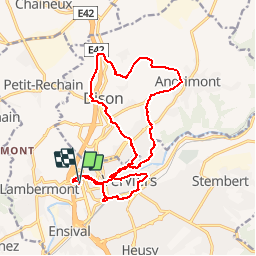


13,4 km | 17,5 km-effort


Utilisateur


Application GPS de randonnée GRATUITE
 SityTrail
IGN / Instituts géographiques
SityTrail World
Le monde est à vous
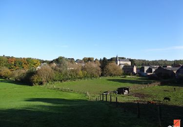
Randonnée Marche de 16,3 km à découvrir à Wallonie, Liège, Verviers. Cette randonnée est proposée par wandelgidszuidlimburg.
More information on : http://www.wandelgidszuidlimburg.com

Marche


Marche

Marche
Marche
Marche
Marche
Marche
Marche
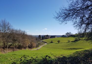
Pas si facile, voyez le dénivelé et surtout ne vous lancez pas dans cette rando, plus longue qu'indiquée, si vous redoutez la présence de quelques sentiers, quasi abandonnés, et à peine visibles... Enfin, la dernière petite boucle en ville présente peu d'intérêt !
Pas mal pour un parcours commençant en ville. 📄 n• 509.