


5 km | 6 km-effort

Utilisateur


Application GPS de randonnée GRATUITE
 SityTrail
IGN / Instituts géographiques
SityTrail World
Le monde est à vous
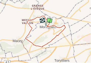
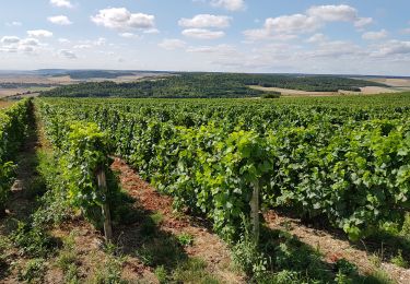
Randonnée Marche de 13,3 km à découvrir à Grand Est, Aube, Montgueux. Cette randonnée est proposée par NANE51.
Départ de la salle polyvalente


Marche
Marche

Marche

Marche
Marche
Marche
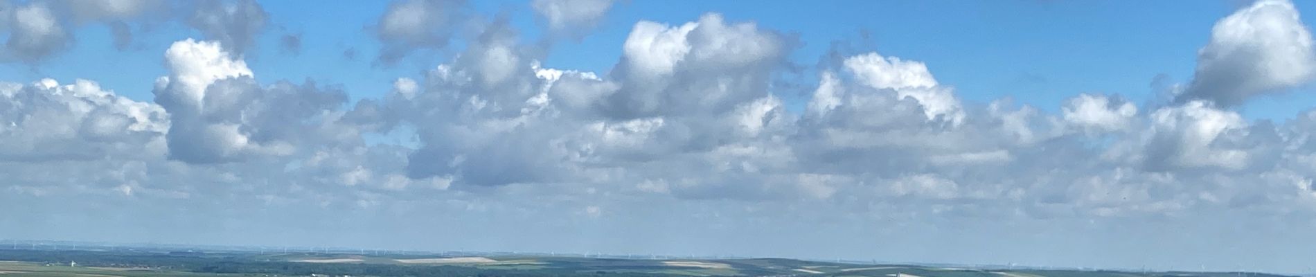
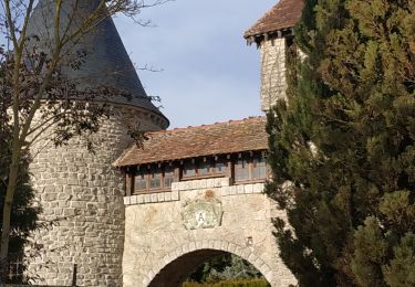
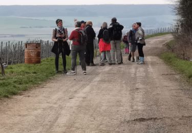
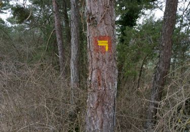
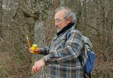
superbe parcours