


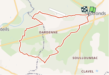

8,6 km | 10 km-effort


Utilisateur


Application GPS de randonnée GRATUITE
 SityTrail
IGN / Instituts géographiques
SityTrail World
Le monde est à vous
Randonnée Marche de 10,5 km à découvrir à Occitanie, Tarn-et-Garonne, Septfonds. Cette randonnée est proposée par BernardEsteban.
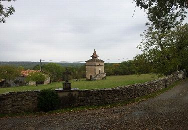
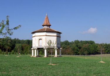
Plusieurs dolmens.
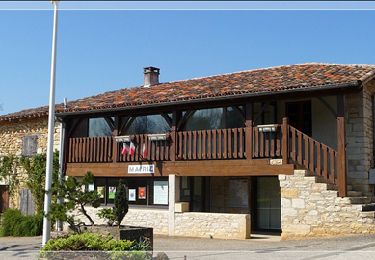
Depart du parking du cimetriere de Septfonds qui se trouve à gauche à l'entrée du village quand on vient de Caussade.
Marche

sport
sport
V.T.T.

Marche
Marche

V.T.T.
Vélo de route