


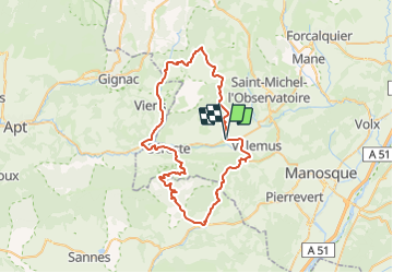


13,6 km | 17,8 km-effort


Utilisateur


Application GPS de randonnée GRATUITE
 SityTrail
IGN / Instituts géographiques
SityTrail World
Le monde est à vous
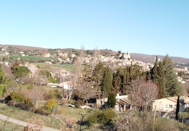
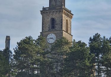
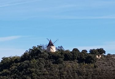
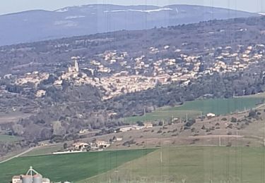
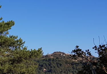
Randonnée Vélo de 64 km à découvrir à Provence-Alpes-Côte d'Azur, Alpes-de-Haute-Provence, Reillanne. Cette randonnée est proposée par gpstracks.
More information on GPStracks.nl : http://www.gpstracks.nl

Marche
Marche
Marche
Marche
Marche
Marche
Marche
Marche
Marche