


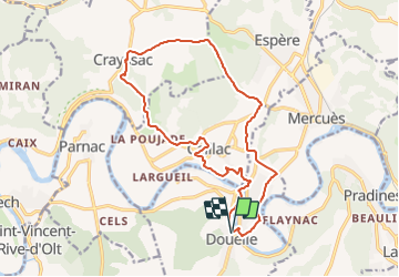

7,1 km | 9,3 km-effort


Utilisateur


Application GPS de randonnée GRATUITE
 SityTrail
IGN / Instituts géographiques
SityTrail World
Le monde est à vous
Randonnée Marche de 17,6 km à découvrir à Occitanie, Lot, Douelle. Cette randonnée est proposée par RandoVal.
Boucle dans le lot, stationnement et départ place des écoles, sens anti-horaire.

Marche

Marche

Marche nordique
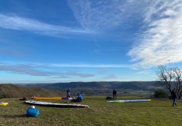
Marche
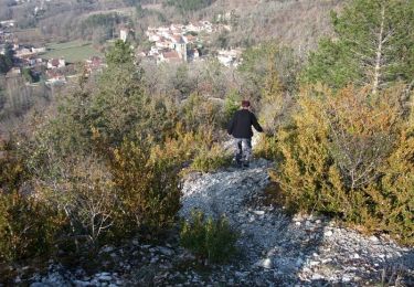
Marche
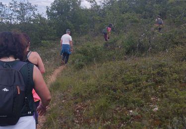
Marche
Marche
Marche
V.T.C.