


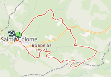


12,2 km | 25 km-effort


Utilisateur


Application GPS de randonnée GRATUITE
 SityTrail
IGN / Instituts géographiques
SityTrail World
Le monde est à vous
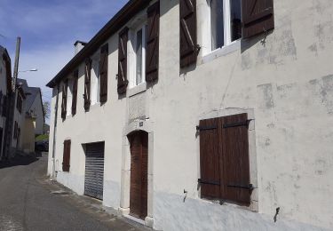
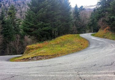
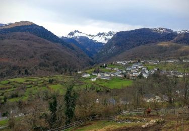
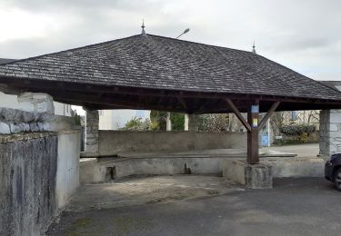
Randonnée Marche de 5,9 km à découvrir à Nouvelle-Aquitaine, Pyrénées-Atlantiques, Sainte-Colome. Cette randonnée est proposée par mitch1952.

Marche
A pied
A pied
A pied
A pied

A pied
A pied
A pied
A pied