


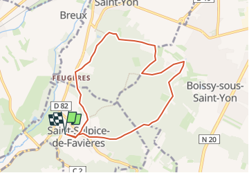

23 km | 29 km-effort


Utilisateur


Application GPS de randonnée GRATUITE
 SityTrail
IGN / Instituts géographiques
SityTrail World
Le monde est à vous
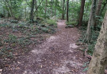
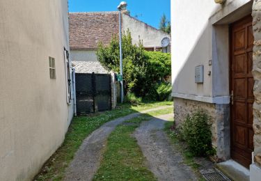
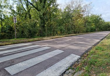
Randonnée Marche de 8 km à découvrir à Île-de-France, Essonne, Saint-Sulpice-de-Favières. Cette randonnée est proposée par Auger91.
St Sulpice st yon Boissy

Marche
A pied

Marche
Marche
Marche
Marche
Marche

Marche
Marche